 Old Cumbria Gazetteer
 |
 |
|
| Lime Grove, Tirril | ||
| Lime Grove | ||
| locality:- | Tirril | |
| civil parish:- | Sockbridge and Tirril (formerly Westmorland) | |
| county:- | Cumbria | |
| locality type:- | buildings | |
| coordinates:- | NY50392666 | |
| 1Km square:- | NY5026 | |
| 10Km square:- | NY52 | |
| references:- | Listed Buildings 2010 |
|
|
|
||
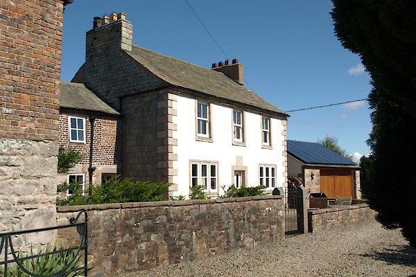 BXA96.jpg (taken 10.8.2012) 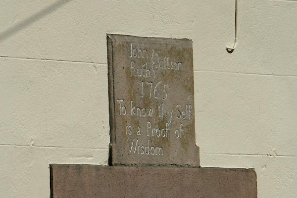 BXA97.jpg Date stone:- "John Rittson / Ruth / 1765 /To know thy Self / is a Proof of / Wisdom" (taken 10.8.2012) |
||
|
|
||
| evidence:- | old map:- OS County Series (Wmd 7 3) placename:- Lime Grove |
|
| source data:- | Maps, County Series maps of Great Britain, scales 6 and 25
inches to 1 mile, published by the Ordnance Survey, Southampton,
Hampshire, from about 1863 to 1948. |
|
|
|
||
| evidence:- | database:- Listed Buildings 2010 placename:- Lime Grove item:- date stone (1765) |
|
| source data:- | courtesy of English Heritage "LIME GROVE AND BARN ADJOINING / / / SOCKBRIDGE AND TIRRIL / EDEN / CUMBRIA / II / 74600 / NY5039126661" |
|
|
|
||
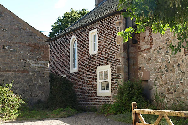 BXA98.jpg Part of the house? (taken 10.8.2012) 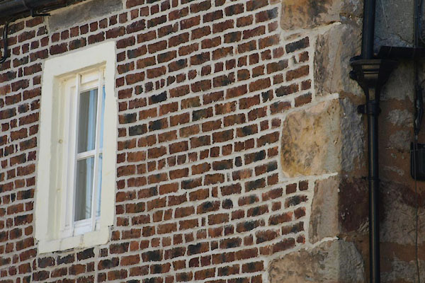 BXA99.jpg Brickwork, english garden wall bond. (taken 10.8.2012) |
||
|
|
||
 Lakes Guides menu.