 Old Cumbria Gazetteer
 |
 |
|
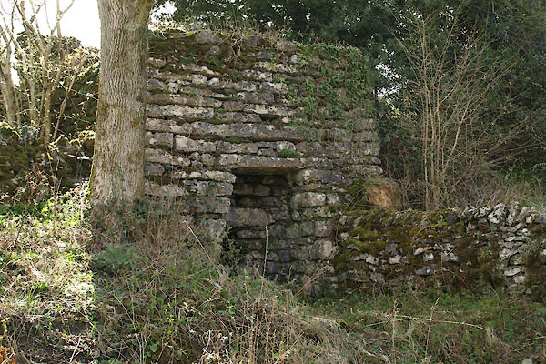
| limekiln, Crosthwaite and Lyth (2) | ||
| civil parish:- | Crosthwaite and Lyth (formerly Westmorland) | |
| county:- | Cumbria | |
| locality type:- | limekiln | |
| coordinates:- | SD45468841 | |
| 1Km square:- | SD4588 | |
| 10Km square:- | SD48 | |
| references:- | Listed Buildings 2010 |
|
|
|
||
 BYE98.jpg (taken 26.4.2013) 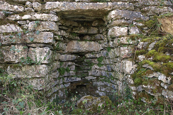 BYE99.jpg (taken 26.4.2013) |
||
|
|
||
| evidence:- | old map:- OS County Series (Wmd 38 13) |
|
| source data:- | Maps, County Series maps of Great Britain, scales 6 and 25
inches to 1 mile, published by the Ordnance Survey, Southampton,
Hampshire, from about 1863 to 1948. "LK." |
|
|
|
||
| evidence:- | database:- Listed Buildings 2010 |
|
| source data:- | courtesy of English Heritage "LIMEKILN APPROXIMATELY 70 METRES NORTH WEST OF THE HOWE / / / CROSTHWAITE AND LYTH / SOUTH LAKELAND / CUMBRIA / II / 77112 / SD4546588416" |
|
| source data:- | courtesy of English Heritage "Limekiln. Probably C18 or early C19. Coursed stone rubble. Fire hole to north has canted sides and lintel; small recess above." |
|
|
|
||
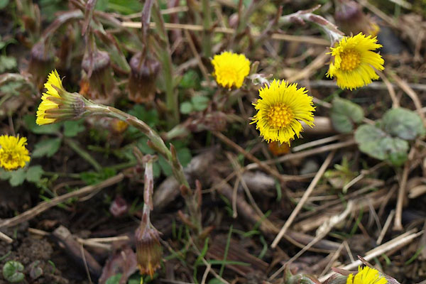 BYF01.jpg Coltsfoot, Tussilago farfara. (taken 26.4.2013) 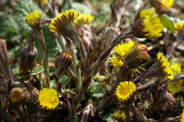 BYF02.jpg Coltsfoot, Tussilago farfara. (taken 26.4.2013) |
||
|
|
||
 Lakes Guides menu.