 Old Cumbria Gazetteer
 |
 |
|
| Low Haycote, Gawthrop | ||
| Low Haycote | ||
| locality:- | Gawthrop | |
| civil parish:- | Dent (formerly Yorkshire) | |
| county:- | Cumbria | |
| locality type:- | buildings | |
| coordinates:- | SD69168744 | |
| 1Km square:- | SD6987 | |
| 10Km square:- | SD68 | |
| references:- | Listed Buildings 2010 |
|
|
|
||
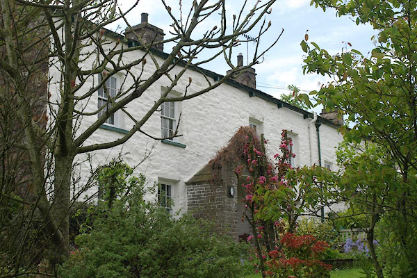 BYK77.jpg (taken 31.5.2013) 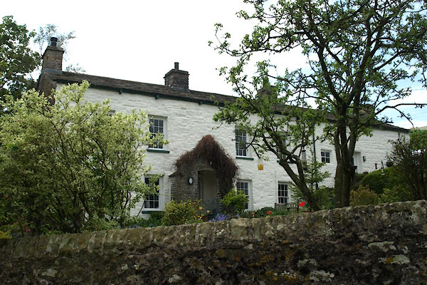 BYK78.jpg (taken 31.5.2013) |
||
|
|
||
| evidence:- | old map:- OS County Series (Yrk 64 9) placename:- Low Haycote placename:- Haycote, Low |
|
| source data:- | Maps, County Series maps of Great Britain, scales 6 and 25
inches to 1 mile, published by the Ordnance Survey, Southampton,
Hampshire, from about 1863 to 1948. |
|
|
|
||
| evidence:- | database:- Listed Buildings 2010 placename:- Low Haycote |
|
| source data:- | courtesy of English Heritage "LOW HAYCOTE / / / DENT / SOUTH LAKELAND / CUMBRIA / II / 484402 / SD6916787446" |
|
|
|
||
 Lakes Guides menu.