 Old Cumbria Gazetteer
 |
 |
|
| Low Rough Hill, Bampton | ||
| Low Rough Hill | ||
| civil parish:- | Bampton (formerly Westmorland) | |
| county:- | Cumbria | |
| locality type:- | buildings | |
| coordinates:- | NY49941923 | |
| 1Km square:- | NY4919 | |
| 10Km square:- | NY41 | |
| references:- | Listed Buildings 2010 |
|
|
|
||
| evidence:- | old map:- OS County Series (Wmd 13 3) placename:- Low Roughhill placename:- Roughhill, Low |
|
| source data:- | Maps, County Series maps of Great Britain, scales 6 and 25
inches to 1 mile, published by the Ordnance Survey, Southampton,
Hampshire, from about 1863 to 1948. |
|
|
|
||
| evidence:- | database:- Listed Buildings 2010 placename:- Low Rough Hill item:- date stone (1832) |
|
| source data:- | courtesy of English Heritage "LOW ROUGH HILL AND ADJOINING BANK BARN / / / BAMPTON / EDEN / CUMBRIA / II / 74464 / NY4994319239" |
|
|
|
||
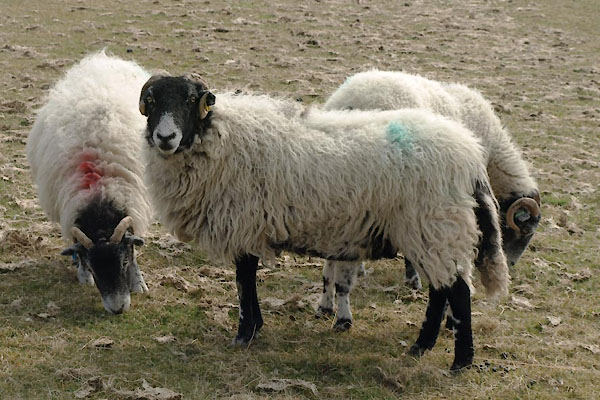 BYC17.jpg Smit mark, Swaledale sheep - green pop on near hook. (taken 10.4.2013) |
||
|
|
||
 Lakes Guides menu.