Old Cumbria Gazetteer
 |
 |
|
||
| Low Water Beck | ||||
| runs into:- |  Levers Water Beck Levers Water Beck |
|||
|
|
||||
| locality:- | Coniston Fells | |||
| civil parish:- | Coniston (formerly Lancashire) | |||
| county:- | Cumbria | |||
| locality type:- | river | |||
| 1Km square:- | SD2798 (etc) | |||
| 10Km square:- | SD29 | |||
|
|
||||
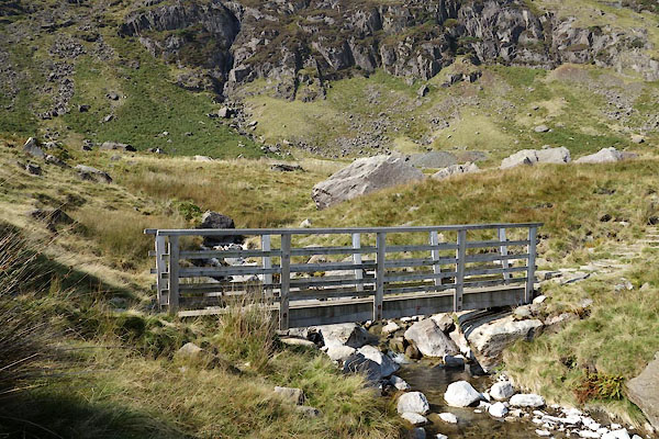
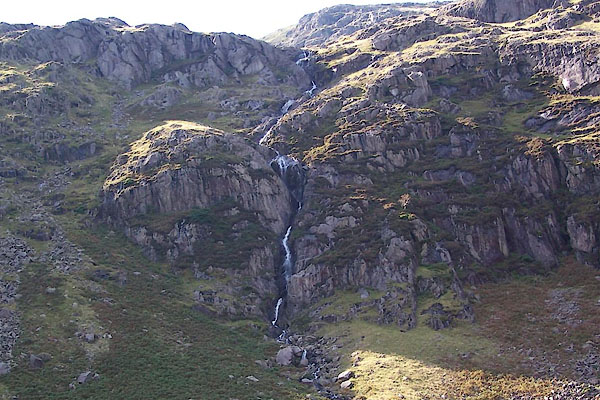
 BTN52.jpg as it leaves Low Water. (taken 8.9.2010)  CBT20.jpg (taken 17.9.2014) |
||||
|
|
||||
| evidence:- | old map:- OS County Series (Lan 4 3) placename:- Low Water Beck placename:- Water Beck, Low |
|||
| source data:- | Maps, County Series maps of Great Britain, scales 6 and 25
inches to 1 mile, published by the Ordnance Survey, Southampton,
Hampshire, from about 1863 to 1948. |
|||
|
|
||||
| places:- |
|
|||
|
||||
Lakes Guides menu.