 Old Cumbria Gazetteer
 |
 |
|
| Mill House, Howgill | ||
| Mill House | ||
| Street:- | Howgill Lane | |
| locality:- | Howgill | |
| civil parish:- | Sedbergh (formerly Yorkshire) | |
| county:- | Cumbria | |
| locality type:- | buildings | |
| coordinates:- | SD63219493 | |
| 1Km square:- | SD6394 | |
| 10Km square:- | SD69 | |
|
|
||
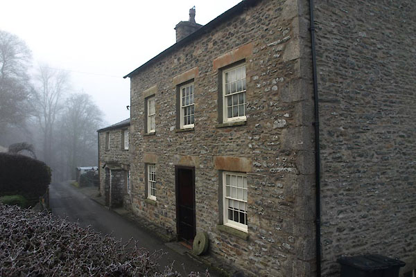 BXT79.jpg (taken 9.1.2013) |
||
|
|
||
| evidence:- | old map:- OS County Series (Yrk 48 10) placename:- Mill House |
|
| source data:- | Maps, County Series maps of Great Britain, scales 6 and 25
inches to 1 mile, published by the Ordnance Survey, Southampton,
Hampshire, from about 1863 to 1948. |
|
|
|
||
| evidence:- | database:- Listed Buildings 2010 placename:- Mill House |
|
| source data:- | courtesy of English Heritage "MILL HOUSE / / HOWGILL LANE / SEDBERGH / SOUTH LAKELAND / CUMBRIA / II / 484587 / SD6322694948" |
|
|
|
||
 Lakes Guides menu.