 Old Cumbria Gazetteer
 |
 |
|
| Naworth, Brampton | ||
| Naworth | ||
| civil parish:- | Brampton (formerly Cumberland) | |
| county:- | Cumbria | |
| locality type:- | locality | |
| coordinates:- | NY560625 (etc) | |
| 1Km square:- | NY5662 | |
| 10Km square:- | NY56 | |
|
|
||
| evidence:- | old map:- Pennant 1777 placename:- Naworth |
|
| source data:- | Map, hand coloured engraving, A Map of Scotland, Hebrides and
Part of England, drawn for Thomas Pennant, engraved by J Bayly,
published by Benjamin White, London, 1777.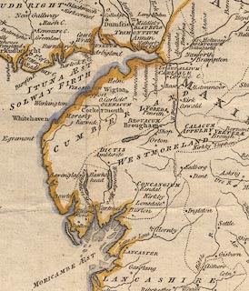 click to enlarge click to enlargePEN1Cm.jpg "Naworth" circle; buildings, village, etc item:- private collection : 66 Image © see bottom of page |
|
|
|
||
| evidence:- | old text:- Camden 1789 (Gough Additions) item:- roman inscription; inscription, roman |
|
| source data:- | Book, Britannia, or A Chorographical Description of the Flourishing Kingdoms of England,
Scotland, and Ireland, by William Camden, 1586, translated from the 1607 Latin edition
by Richard Gough, published London, 1789. goto source goto sourcePage 204:- "..." "The following was found April 1744 in a wall of George Wright's house at Naworth on rebuilding it: not unlike Horsley's Cumb. xxiv. Pl.XIV, 6." "LEG. VI. VIC. PIA. FID. F...." "Legio sexta Victrix Pia fidelis fecit." "Mr. Smith communicated also another in the south-east wall of Naworth garden unpublished:" "PED C. L. B[TR]T." "which he read Peditum centum quinquaginta Britanorum." |
|
|
|
||
| evidence:- | old map:- Cooper 1808 placename:- Naworth |
|
| source data:- | Map, uncoloured engraving, Cumberland, scale about 10.5 miles to
1 inch, drawn and engraved by Cooper, published by R Phillips,
Bridge Street, Blackfriars, London, 1808. click to enlarge click to enlargeCOP3.jpg "Naworth" circle; village or hamlet item:- JandMN : 86 Image © see bottom of page |
|
|
|
||
Lakes Guides menu.