 Old Cumbria Gazetteer
 |
 |
|
| Old Vicarage, Warcop | ||
| Old Vicarage | ||
| locality:- | St Columba's Church | |
| locality:- | Warcop | |
| civil parish:- | Warcop (formerly Westmorland) | |
| county:- | Cumbria | |
| locality type:- | buildings | |
| coordinates:- | NY74341567 | |
| 1Km square:- | NY7415 | |
| 10Km square:- | NY71 | |
|
|
||
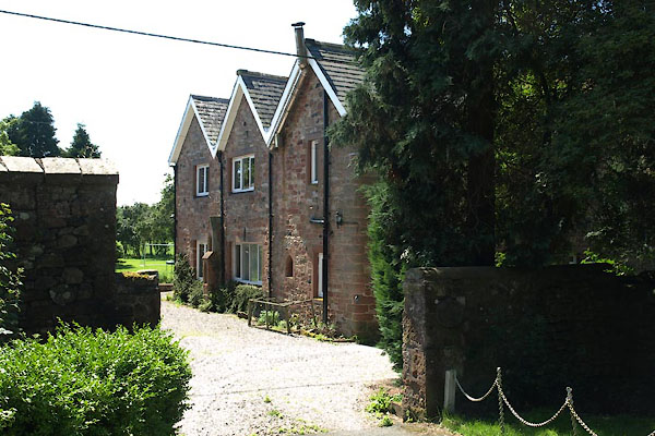 BVA89.jpg (taken 24.7.2011) |
||
|
|
||
| evidence:- | old map:- OS County Series (Wmd 16 9) placename:- Vicarage, The |
|
| source data:- | Maps, County Series maps of Great Britain, scales 6 and 25
inches to 1 mile, published by the Ordnance Survey, Southampton,
Hampshire, from about 1863 to 1948. |
|
|
|
||
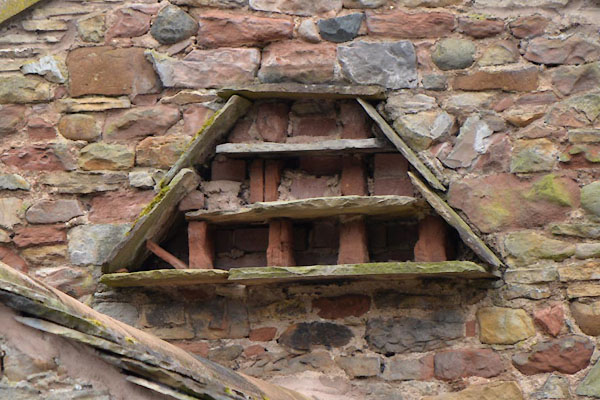 CGF63.jpg Pigeon holes on a barn. (taken 23.6.2017) |
||
|
|
||
| notes:- |
moat |
|
| Perriam, D R &Robinson, J: 1998: Medieval Fortified Buildings of Cumbria: CWAAS::
ISBN 1 873124 23 6 |
||
|
|
||
 Lakes Guides menu.