 Old Cumbria Gazetteer
 |
 |
|
| Tarnclose Bridge, Beck Foot | ||
| Tarnclose Bridge | ||
| site name:- | Lummer Gill | |
| locality:- | Beck Foot | |
| locality:- | Lowgill | |
| civil parish:- | Firbank (formerly Westmorland) | |
| civil parish:- | Grayrigg (formerly Westmorland) | |
| county:- | Cumbria | |
| locality type:- | bridge (disused) | |
| coordinates:- | SD61649645 | |
| 1Km square:- | SD6196 | |
| 10Km square:- | SD69 | |
|
|
||
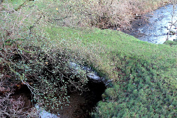 CCA50.jpg (taken 5.11.2014) |
||
|
|
||
| evidence:- | old map:- OS County Series (Wmd 34 12) placename:- Tarnclose Bridge |
|
| source data:- | Maps, County Series maps of Great Britain, scales 6 and 25
inches to 1 mile, published by the Ordnance Survey, Southampton,
Hampshire, from about 1863 to 1948. |
|
|
|
||
| evidence:- | database:- Listed Buildings 2010 |
|
| source data:- | courtesy of English Heritage "PACKHORSE BRIDGE TO WEST OF LOWGILL VIADUCT / / / FIRBANK / SOUTH LAKELAND / CUMBRIA / II / 75638 / SD6162096450" |
|
| source data:- | courtesy of English Heritage "Packhorse bridge. Probably C17 or C18. Dressed stone. Slightly flattened segmental arch. Thin voussoirs; low abutments; no parapets." |
|
|
|
||
 Lakes Guides menu.