 Old Cumbria Gazetteer
 |
 |
|
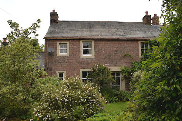
| Scales Fold, Scales | ||
| Scales Fold | ||
| locality:- | Scales | |
| civil parish:- | Kirkoswald (formerly Cumberland) | |
| county:- | Cumbria | |
| locality type:- | buildings | |
| coordinates:- | NY56994316 | |
| 1Km square:- | NY5643 | |
| 10Km square:- | NY54 | |
| references:- | Listed Buildings 2010 |
|
|
|
||
 CGG84.jpg (taken 21.7.2017) 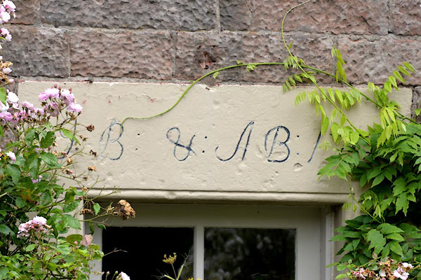 CGG85.jpg Date stone:- "J B: & A B: 1[7 ]" it's 1729. (taken 21.7.2017) |
||
|
|
||
| evidence:- | old map:- OS County Series (Cmd 40 2) placename:- Scalesfold |
|
| source data:- | Maps, County Series maps of Great Britain, scales 6 and 25
inches to 1 mile, published by the Ordnance Survey, Southampton,
Hampshire, from about 1863 to 1948. |
|
|
|
||
| evidence:- | database:- Listed Buildings 2010 placename:- Scales Fold item:- date stone (1729) |
|
| source data:- | courtesy of English Heritage "SCALES FOLD AND ADJOINING BYRE / / / KIRKOSWALD / EDEN / CUMBRIA / II / 73516 / NY5699043166" |
|
|
|
||
 Lakes Guides menu.