 Old Cumbria Gazetteer
 |
 |
|
| Seat Knott, Sedbergh | ||
| Seat Knott | ||
| locality:- | Howgill Fells | |
| civil parish:- | Sedbergh (formerly Yorkshire) | |
| county:- | Cumbria | |
| locality type:- | hill | |
| coordinates:- | SD64609531 | |
| 1Km square:- | SD6495 | |
| 10Km square:- | SD69 | |
| altitude:- | 1129 feet | |
| altitude:- | 344m | |
|
|
||
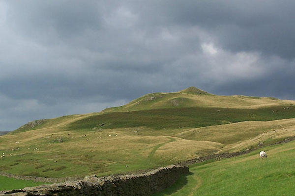 BTJ36.jpg (taken 16.8.2010) 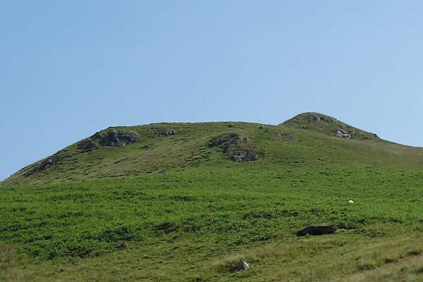 BYT75.jpg (taken 9.7.2013) |
||
|
|
||
| evidence:- | old map:- OS County Series (Yrk 48 11) placename:- Seat Knott |
|
| source data:- | Maps, County Series maps of Great Britain, scales 6 and 25
inches to 1 mile, published by the Ordnance Survey, Southampton,
Hampshire, from about 1863 to 1948. |
|
|
|
||
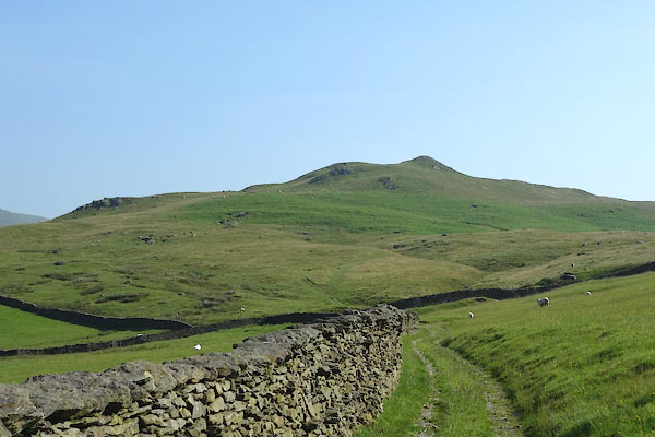 BYT74.jpg (taken 9.7.2013) 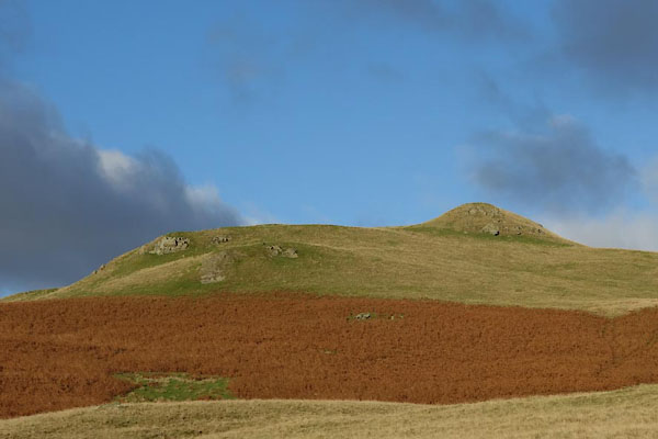 CCA43.jpg (taken 5.11.2014) |
||
|
|
||
 Lakes Guides menu.