 Old Cumbria Gazetteer
 |
 |
|
| Stainton Bridge, Stainton | ||
| Stainton Bridge | ||
| site name:- | Stainton Beck (2) | |
| civil parish:- | Stainton (formerly Westmorland) | |
| county:- | Cumbria | |
| locality type:- | bridge | |
| coordinates:- | SD52288523 | |
| 1Km square:- | SD5285 | |
| 10Km square:- | SD58 | |
| references:- | Listed Buildings 2010 |
|
|
|
||
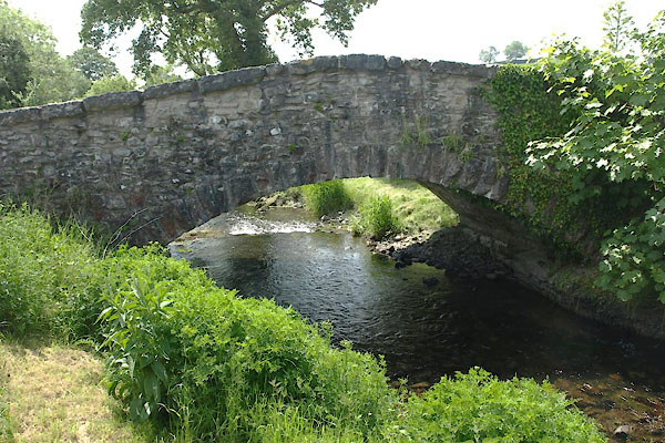 BYM68.jpg (taken 7.6.2013) |
||
|
|
||
| evidence:- | possibly old map:- Jefferys 1770 (Wmd) |
|
| source data:- | Map, 4 sheets, The County of Westmoreland, scale 1 inch to 1
mile, surveyed 1768, and engraved and published by Thomas
Jefferys, London, 1770.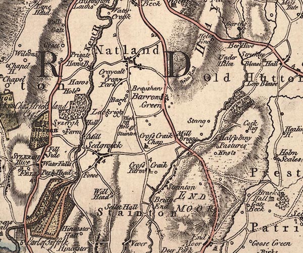 J5SD58NW.jpg double line, road, across a stream; bridge; the land here is much altered by canal building item:- National Library of Scotland : EME.s.47 Image © National Library of Scotland |
|
|
|
||
| evidence:- | database:- Listed Buildings 2010 placename:- Stainton Bridge |
|
| source data:- | courtesy of English Heritage "STAINTON BRIDGE OVER PEASY BECK IMMEDIATELY SOUTH WEST OF STAINTON BRIDGE END FARM NGR 5228 8523 / / / STAINTON / SOUTH LAKELAND / CUMBRIA / II / 76543 / SD5228085230" |
|
| source data:- | courtesy of English Heritage "Road bridge. Possibly C17 or early C18. Limestone rubble with limestone copings and voussoirs. Single shallow segmental arch, long sloping parapets." |
|
|
|
||
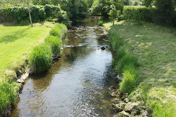 BYM69.jpg View of river. (taken 7.6.2013) |
||
|
|
||
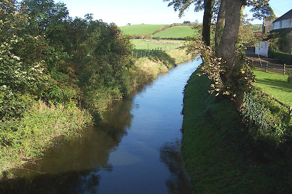 BMX72.jpg View of river. From Deepthwaite Bridge. (taken 29.10.2006) |
||
|
|
||
 Lakes Guides menu.