 Old Cumbria Gazetteer
 |
 |
|
| Stouphill Gate, Ravenstonedale | ||
| Stouphill Gate | ||
| Street:- | Townhead Lane | |
| civil parish:- | Ravenstonedale (formerly Westmorland) | |
| county:- | Cumbria | |
| locality type:- | buildings | |
| coordinates:- | NY73470294 | |
| 1Km square:- | NY7302 | |
| 10Km square:- | NY70 | |
|
|
||
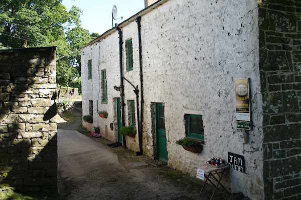 BTI55.jpg (taken 16.8.2010) 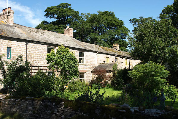 BTI59.jpg (taken 16.8.2010) |
||
|
|
||
| evidence:- | old map:- OS County Series (Wmd 30 9) placename:- Stouphill Gate |
|
| source data:- | Maps, County Series maps of Great Britain, scales 6 and 25
inches to 1 mile, published by the Ordnance Survey, Southampton,
Hampshire, from about 1863 to 1948. |
|
|
|
||
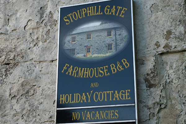 BTI56.jpg Sign. (taken 16.8.2010) 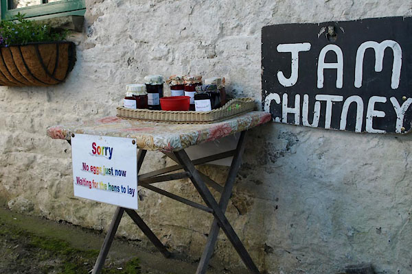 BTI57.jpg Jam and chutney for sale. (taken 16.8.2010) 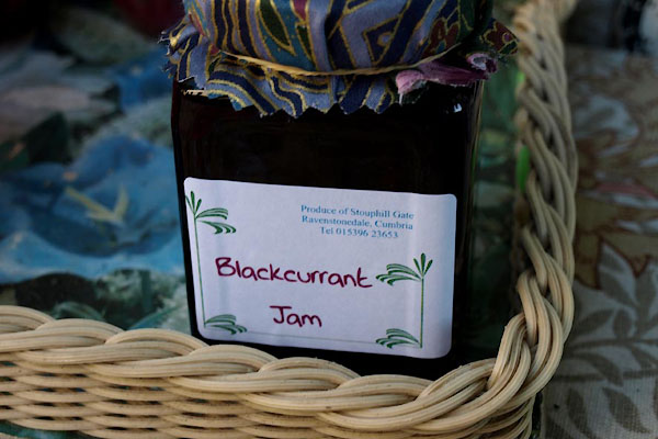 BTI58.jpg Blackcurrant Jam. (taken 16.8.2010) |
||
|
|
||
 Lakes Guides menu.