 Old Cumbria Gazetteer
 |
 |
|
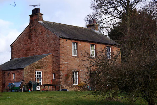
| Thorneycroft, Kirkby Thore | ||
| Thorneycroft | ||
| locality:- | Kirkby Thore | |
| civil parish:- | Kirkby Thore (formerly Westmorland) | |
| county:- | Cumbria | |
| locality type:- | buildings | |
| coordinates:- | NY63882576 | |
| 1Km square:- | NY6325 | |
| 10Km square:- | NY62 | |
| references:- | Listed Buildings 2010 |
|
|
|
||
 CCM76.jpg (taken 28.2.2015) |
||
|
|
||
| evidence:- | possibly old map:- OS County Series (Wmd 9 1) placename:- Rose Cottage |
|
| source data:- | Maps, County Series maps of Great Britain, scales 6 and 25
inches to 1 mile, published by the Ordnance Survey, Southampton,
Hampshire, from about 1863 to 1948. |
|
|
|
||
| evidence:- | database:- Listed Buildings 2010 placename:- Thorneycroft |
|
| source data:- | courtesy of English Heritage "THORNEYCROFT / / / KIRKBY THORE / EDEN / CUMBRIA / II / 423193 / NY6386925748" |
|
|
|
||
 Lakes Guides menu.