 Old Cumbria Gazetteer
 |
 |
|
| Throng Moss Reservoir, Blawith and Subberthwaite | ||
| Throng Moss Reservoir | ||
| Torver Tarn | ||
| Torver Reservoir | ||
| locality:- | Throng Moss | |
| locality:- | Stable Harvey Moss | |
| civil parish:- | Blawith and Subberthwaite (formerly Lancashire) | |
| county:- | Cumbria | |
| locality type:- | reservoir | |
| locality type:- | tarn | |
| coordinates:- | SD28069256 (etc) | |
| 1Km square:- | SD2892 | |
| 10Km square:- | SD29 | |
| altitude:- | 380 feet | |
| altitude:- | 116m | |
|
|
||
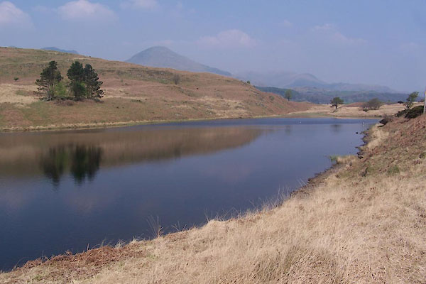 BUJ03.jpg (taken 19.4.2011) 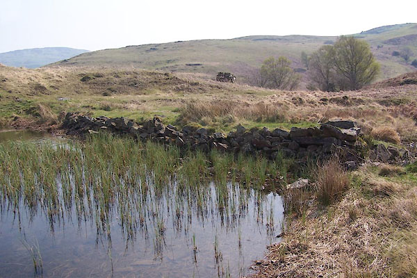 BUJ01.jpg Dam. (taken 19.4.2011) |
||
|
|
||
| evidence:- | old map:- OS County Series (Lan 4 15) placename:- Throng Moss Reservoir |
|
| source data:- | Maps, County Series maps of Great Britain, scales 6 and 25
inches to 1 mile, published by the Ordnance Survey, Southampton,
Hampshire, from about 1863 to 1948. |
|
|
|
||
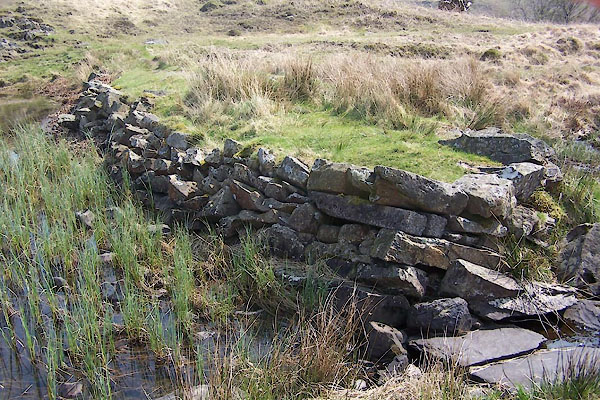 BUJ02.jpg Dam. (taken 19.4.2011) 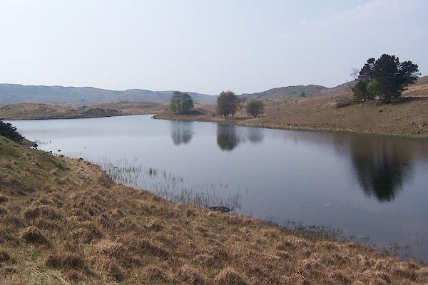 BUJ04.jpg (taken 19.4.2011) |
||
|
|
||
 Lakes Guides menu.