 Old Cumbria Gazetteer
 |
 |
|
| Underknotts, Firbank | ||
| Underknotts | ||
| civil parish:- | Firbank (formerly Westmorland) | |
| county:- | Cumbria | |
| locality type:- | buildings | |
| coordinates:- | SD62689376 | |
| 1Km square:- | SD6293 | |
| 10Km square:- | SD69 | |
| references:- | Listed Buildings 2010 |
|
|
|
||
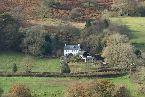 CCA21.jpg (taken 5.11.2014) |
||
|
|
||
| evidence:- | old map:- OS County Series (Wmd 40 1) placename:- Under Knotts |
|
| source data:- | Maps, County Series maps of Great Britain, scales 6 and 25
inches to 1 mile, published by the Ordnance Survey, Southampton,
Hampshire, from about 1863 to 1948. |
|
|
|
||
| evidence:- | old map:- Jefferys 1770 (Wmd) placename:- Under Knot |
|
| source data:- | Map, 4 sheets, The County of Westmoreland, scale 1 inch to 1
mile, surveyed 1768, and engraved and published by Thomas
Jefferys, London, 1770.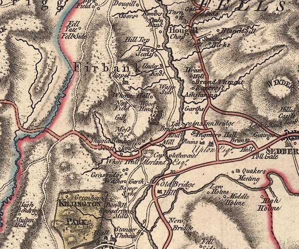 J5SD69SW.jpg "Under Knot" circle, labelled in italic lowercase text; settlement, farm, house, or hamlet? item:- National Library of Scotland : EME.s.47 Image © National Library of Scotland |
|
|
|
||
| evidence:- | old map:- Cary 1789 (edn 1805) placename:- Under Knot |
|
| source data:- | Map, uncoloured engraving, Westmoreland, scale about 2.5 miles
to 1 inch, by John Cary, London, 1789; edition 1805.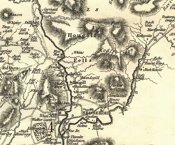 CY24SD69.jpg "Under Knot" block/s, labelled in italic lowercase; house, or hamlet item:- JandMN : 129 Image © see bottom of page |
|
|
|
||
| evidence:- | database:- Listed Buildings 2010 placename:- Underknotts item:- date stone (1749) |
|
| source data:- | courtesy of English Heritage "UNDERKNOTTS / / B6257 / FIRBANK / SOUTH LAKELAND / CUMBRIA / II / 75648 / SD6268793768" |
|
|
|
||
| evidence:- | database:- Listed Buildings 2010 |
|
| source data:- | courtesy of English Heritage "BARN TO EAST OF UNDERKNOTTS / / B6257 / FIRBANK / SOUTH LAKELAND / CUMBRIA / II / 75649 / SD6270793774" |
|
|
|
||
 Lakes Guides menu.