 Old Cumbria Gazetteer
 |
 |
|
| Willow Dene, Harrington | ||
| Willow Dene | ||
| Street:- | Church Road | |
| locality:- | High Harrington | |
| locality:- | Harrington | |
| civil parish:- | Workington (formerly Cumberland) | |
| county:- | Cumbria | |
| locality type:- | buildings | |
| coordinates:- | NX99392571 | |
| 1Km square:- | NX9925 | |
| 10Km square:- | NX92 | |
| references:- | Listed Buildings 2010 |
|
|
|
||
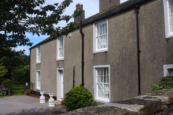 CFK69.jpg (taken 2.9.2016) 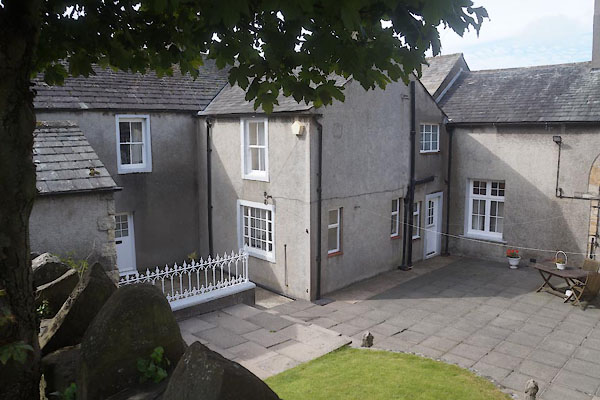 CFK70.jpg (taken 2.9.2016) |
||
|
|
||
| evidence:- | old map:- OS County Series (Cmd 61 3) |
|
| source data:- | Maps, County Series maps of Great Britain, scales 6 and 25
inches to 1 mile, published by the Ordnance Survey, Southampton,
Hampshire, from about 1863 to 1948. "Rectory" |
|
|
|
||
| evidence:- | database:- Listed Buildings 2010 placename:- Willow Dene |
|
| source data:- | courtesy of English Heritage "WILLOW DENE AND ADJOINING FORMER STABLES / / CHURCH ROAD / WORKINGTON / ALLERDALE / CUMBRIA / II / 72257 / NX9938225720" |
|
|
|
||
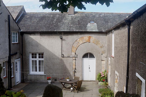 CFK71.jpg (taken 2.9.2016) |
||
|
|
||
 Lakes Guides menu.