 Old Cumbria Gazetteer
 |
 |
|
| Belted Will Trough, Wigton | ||
| Belted Will Trough | ||
| locality:- | Wigton | |
| civil parish:- | Wigton (formerly Cumberland) | |
| county:- | Cumbria | |
| locality type:- | drinking fountain | |
| locality type:- | water trough | |
| coordinates:- | NY25394897 | |
| 1Km square:- | NY2548 | |
| 10Km square:- | NY24 | |
|
|
||
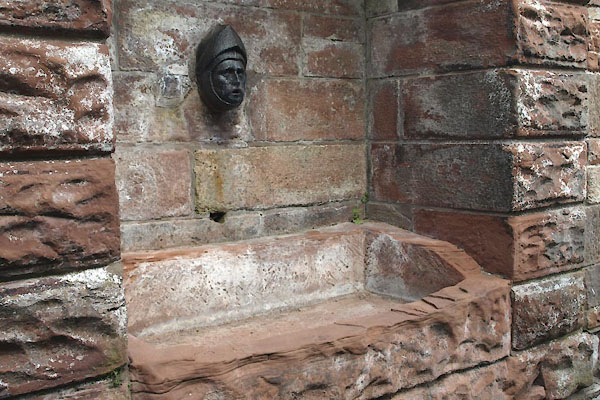 BYV39.jpg (taken 27.7.2013) 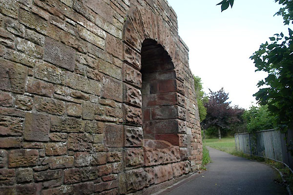 BYV38.jpg (taken 27.7.2013) |
||
|
|
||
| evidence:- | old map:- OS County Series (Cmd 29 5) placename:- Belted Will Trough |
|
| source data:- | Maps, County Series maps of Great Britain, scales 6 and 25
inches to 1 mile, published by the Ordnance Survey, Southampton,
Hampshire, from about 1863 to 1948. "Belted Will (Trough)" |
|
|
|
||
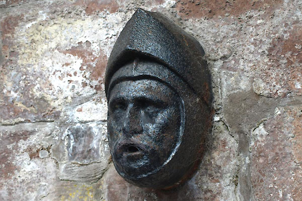 BYV40.jpg Belted Will. (taken 27.7.2013) |
||
|
|
||
 Lakes Guides menu.