 Old Cumbria Gazetteer
 |
 |
|
| Old Vicarage, Edenhall | ||
| Old Vicarage | ||
| locality:- | Edenhall | |
| civil parish:- | Langwathby (formerly Cumberland) | |
| county:- | Cumbria | |
| locality type:- | buildings | |
| coordinates:- | NY56573245 | |
| 1Km square:- | NY5632 | |
| 10Km square:- | NY53 | |
|
|
||
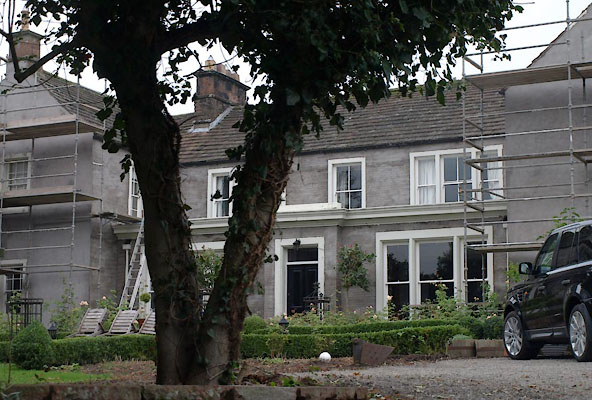 BVM61.jpg (taken 14.10.2011) 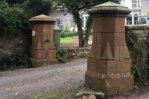 BVM62.jpg Gate piers. (taken 14.10.2011) |
||
|
|
||
| evidence:- | old map:- OS County Series (Cmd 50 14) placename:- Vicarage, The |
|
| source data:- | Maps, County Series maps of Great Britain, scales 6 and 25
inches to 1 mile, published by the Ordnance Survey, Southampton,
Hampshire, from about 1863 to 1948. "The Vicarage" |
|
|
|
||
| evidence:- | database:- Listed Buildings 2010 placename:- Old Vicarage |
|
| source data:- | courtesy of English Heritage "THE OLD VICARAGE / / / LANGWATHBY / EDEN / CUMBRIA / II / 74288 / NY5657332455" |
|
|
|
||
 Lakes Guides menu.