 Old Cumbria Gazetteer
 |
 |
|
| Cove Well, Lancashire | ||
| Cove Well | ||
| locality:- | Silverdale | |
| county:- | Lancashire | |
| locality type:- | well | |
| locality type:- | spring (?) | |
| coordinates:- | SD45657550 | |
| 1Km square:- | SD4575 | |
| 10Km square:- | SD47 | |
|
|
||
| evidence:- | probably old map:- Jefferys 1770 (Wmd) placename:- Arnside Well |
|
| source data:- | Map, 4 sheets, The County of Westmoreland, scale 1 inch to 1
mile, surveyed 1768, and engraved and published by Thomas
Jefferys, London, 1770.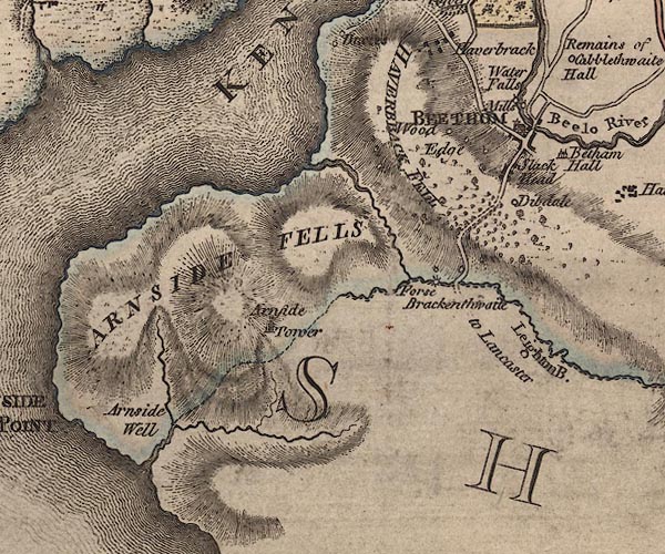 J5SD47NE.jpg "Arnside Well" no symbol item:- National Library of Scotland : EME.s.47 Image © National Library of Scotland |
|
|
|
||
 Lakes Guides menu.