 Old Cumbria Gazetteer
 |
 |
|
|
| included in:- |
 road, Sedbergh to Orton road, Sedbergh to Orton |
||
| Howgill Lane, Sedbergh | |||
| Howgill Lane | |||
| civil parish:- | Sedbergh (formerly Yorkshire) | ||
| county:- | Cumbria | ||
| locality type:- | road route | ||
| coordinates:- | SD63689412 (etc) | ||
| 1Km square:- | SD6394 | ||
| 10Km square:- | SD69 | ||
|
|
|||
| evidence:- | old map:- OS County Series (Yrk 48 6) placename:- Howgill Lane |
||
| source data:- | Maps, County Series maps of Great Britain, scales 6 and 25
inches to 1 mile, published by the Ordnance Survey, Southampton,
Hampshire, from about 1863 to 1948. OS County Series (Yrk 48 10) OS County Series (Yrk 48 15) |
||
|
|
|||
| evidence:- | old map:- Jefferys 1770 (Wmd) |
||
| source data:- | Map, 4 sheets, The County of Westmoreland, scale 1 inch to 1
mile, surveyed 1768, and engraved and published by Thomas
Jefferys, London, 1770.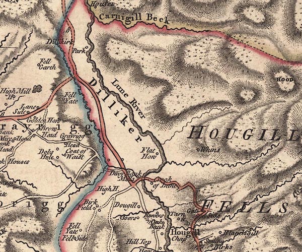 J5SD69NW.jpg 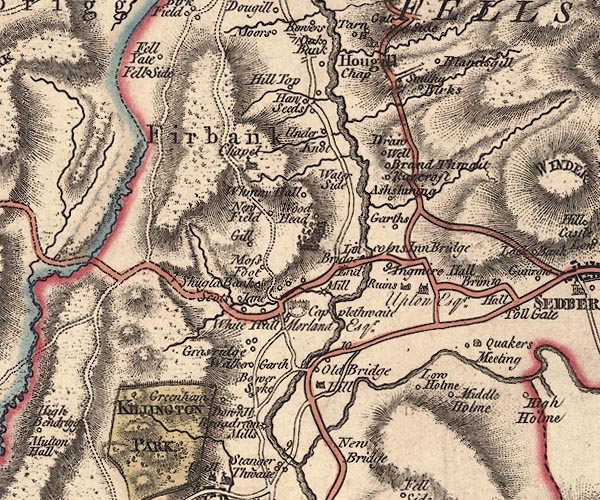 J5SD69SW.jpg double line; road; bold, main road item:- National Library of Scotland : EME.s.47 Images © National Library of Scotland |
||
|
|
|||
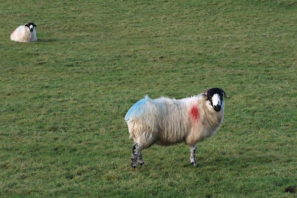 BXR01.jpg Rough Fell sheep. (taken 23.11.2012) |
|||
|
|
|||
| places:- |
Sedbergh Sedbergh: Howgill Lane Four Lane Ends, Sedbergh Fairmile Gate, Sedbergh |
||
|
|
|||
Lakes Guides menu.