 Old Cumbria Gazetteer
 |
 |
|
| North Quay, Maryport Harbour | ||
| North Quay | ||
| locality:- | Maryport Harbour | |
| locality:- | Maryport | |
| civil parish:- | Maryport (formerly Cumberland) | |
| county:- | Cumbria | |
| locality type:- | quay | |
| locality type:- | street | |
| coordinates:- | NY03363669 (etc) | |
| 1Km square:- | NY0336 | |
| 10Km square:- | NY03 | |
|
|
||
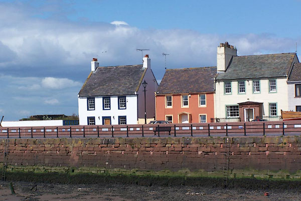 BNS28.jpg North Quay. (taken 25.5.2007) |
||
|
|
||
| evidence:- | old map:- OS County Series (Cmd 44 8) placename:- North Quay |
|
| source data:- | Maps, County Series maps of Great Britain, scales 6 and 25
inches to 1 mile, published by the Ordnance Survey, Southampton,
Hampshire, from about 1863 to 1948. |
|
|
|
||
| MN photo:- |
There are tiles set in the quayside wall. |
|
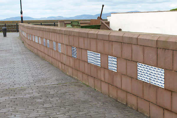 BWI19.jpg (taken 4.5.2012) 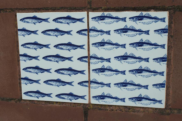 BWI20.jpg (taken 4.5.2012) 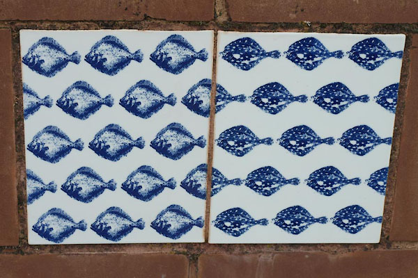 BWI21.jpg (taken 4.5.2012) 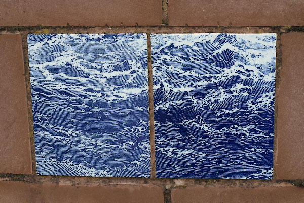 BWI22.jpg (taken 4.5.2012) |
||
|
|
||
 Lakes Guides menu.