 Old Cumbria Gazetteer
 |
 |
|
| Mickle Fell, Durham | ||
| Mickle Fell | ||
| county:- | Durham | |
| locality type:- | hill | |
| coordinates:- | NY811249 (etc) | |
| 1Km square:- | NY8124 | |
| 10Km square:- | NY82 | |
|
|
||
| evidence:- | old map:- Jefferys 1770 (Wmd) placename:- Mickle Fell |
|
| source data:- | Map, 4 sheets, The County of Westmoreland, scale 1 inch to 1
mile, surveyed 1768, and engraved and published by Thomas
Jefferys, London, 1770.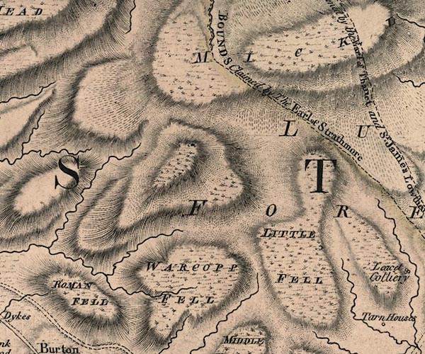 J5NY72SE.jpg 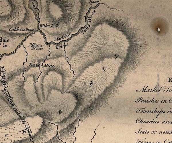 J5NY82NW.jpg "MICKLE FELL" hill hachuring; hill or mountain item:- National Library of Scotland : EME.s.47 Images © National Library of Scotland |
|
|
|
||
| evidence:- | old map:- Cary 1789 (edn 1805) placename:- Mickle Fell |
|
| source data:- | Map, uncoloured engraving, Westmoreland, scale about 2.5 miles
to 1 inch, by John Cary, London, 1789; edition 1805.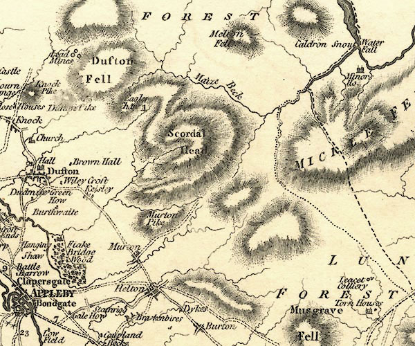 CY24NY72.jpg 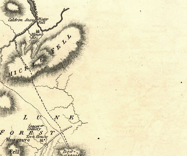 CY24NY82.jpg "MICKLE FELL" hill hachuring item:- JandMN : 129 Image © see bottom of page |
|
|
|
||
 Lakes Guides menu.