 Old Cumbria Gazetteer
 |
 |
|
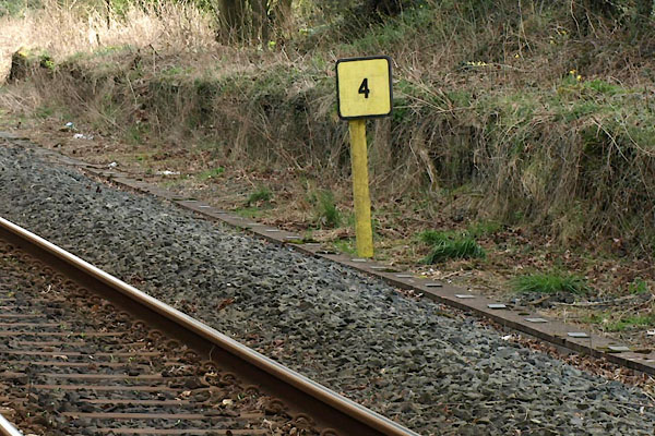
| railway milepost, Burneside | ||
| site name:- | Kendal and Windermere Railway | |
| locality:- | Burneside | |
| civil parish:- | Strickland Ketel (formerly Westmorland) | |
| county:- | Cumbria | |
| locality type:- | railway milepost | |
| coordinates:- | SD50289575 (about) | |
| 1Km square:- | SD5095 | |
| 10Km square:- | SD59 | |
|
|
||
 BWE77.jpg (taken 5.4.2012) |
||
|
|
||
| evidence:- | old map:- OS County Series (Wmd 33 15) |
|
| source data:- | Maps, County Series maps of Great Britain, scales 6 and 25
inches to 1 mile, published by the Ordnance Survey, Southampton,
Hampshire, from about 1863 to 1948. "Oxenholme 4 M.P" |
|
|
|
||
 Lakes Guides menu.