 Old Cumbria Gazetteer
 |
 |
|
| roman fort, Rey Cross | ||
| locality:- | Rey Cross | |
| county:- | Durham | |
| locality type:- | roman fort (marching camp) | |
| coordinates:- | NY901123 | |
| 1Km square:- | NY9012 | |
| 10Km square:- | NY91 | |
|
|
||
| evidence:- | old map:- Jefferys 1770 (Wmd) |
|
| source data:- | Map, 4 sheets, The County of Westmoreland, scale 1 inch to 1
mile, surveyed 1768, and engraved and published by Thomas
Jefferys, London, 1770.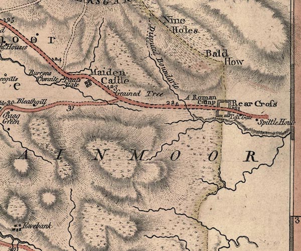 J5NY81SE.jpg "A Roman Camp" fort in plan view, on county boundary item:- National Library of Scotland : EME.s.47 Image © National Library of Scotland |
|
|
|
||
| evidence:- | old map:- Cary 1789 (edn 1805) |
|
| source data:- | Map, uncoloured engraving, Westmoreland, scale about 2.5 miles
to 1 inch, by John Cary, London, 1789; edition 1805.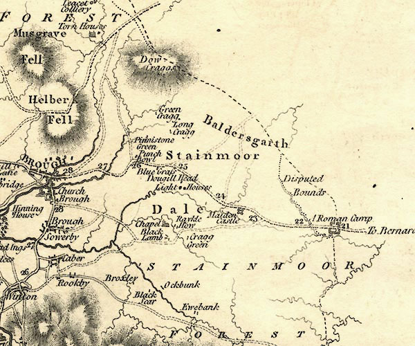 CY24NY81.jpg "A Roman Camp" rectangular fort across one of the county boundaries; roman fort item:- JandMN : 129 Image © see bottom of page |
|
|
|
||
 Lakes Guides menu.