 Old Cumbria Gazetteer
 |
 |
|
| Thwaite House, Coniston | ||
| Thwaite House | ||
| civil parish:- | Coniston (formerly Lancashire) | |
| county:- | Cumbria | |
| locality type:- | buildings | |
| coordinates:- | SD30919794 | |
| 1Km square:- | SD3097 | |
| 10Km square:- | SD39 | |
|
|
||
| evidence:- | old map:- OS County Series (Lan 4 4) placename:- Thwaite House |
|
| source data:- | Maps, County Series maps of Great Britain, scales 6 and 25
inches to 1 mile, published by the Ordnance Survey, Southampton,
Hampshire, from about 1863 to 1948. |
|
|
|
||
| evidence:- | possibly old map:- Cooke 1802 placename:- Thwaite |
|
| source data:- | Map, Lancashire, scale about 18 miles to 1 inch, by George
Cooke, 1802, bound in Gray's New Book of Roads, 1824, published
by Sherwood, Jones and Co, Paternoster Road, London, 1824.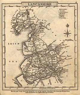 click to enlarge click to enlargeGRA1La.jpg "Thwaite Kirk" blocks, italic lowercase text, village, hamlet, locality written as one label, this is perhaps for Thwaite House or Cottage, and the Kirk of Church Coniston item:- Hampshire Museums : FA2000.62.6 Image © see bottom of page |
|
|
|
||
 Lakes Guides menu.