 Old Cumbria Gazetteer
 |
 |
|
| included in:- |
 track, Tills Hole to Garnett Bridge track, Tills Hole to Garnett Bridge |
|
| track, Docker Nook to Garnett Bridge: walk 3, 14.10.2012 | ||
| Docker Nook to Garnett Bridge | ||
| civil parish:- | Longsleddale (formerly Westmorland) | |
| civil parish:- | Strickland Roger (formerly Westmorland) | |
| county:- | Cumbria | |
| locality type:- | track route | |
| coordinates:- | NY51380053 (etc) | |
| 10Km square:- | NY5100 | |
| 1Km square:- | NY50 | |
| 10Km square:- | SD59 | |
|
|
||
| MN photo:- |
Walk, from Docker Nook to Garnett Bridge, 14 October 2012. |
|
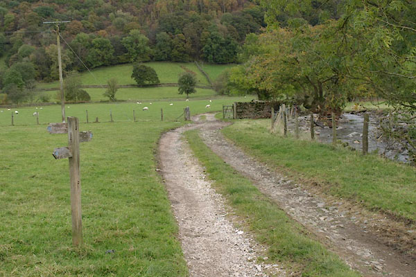 BXN23.jpg Footpath junction by Docker Nook. (taken 14.10.2012) 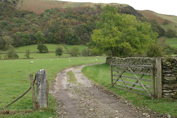 BXN24.jpg The path goes down the Docker Nook access track, beside Dockernook Gill (taken 14.10.2102) 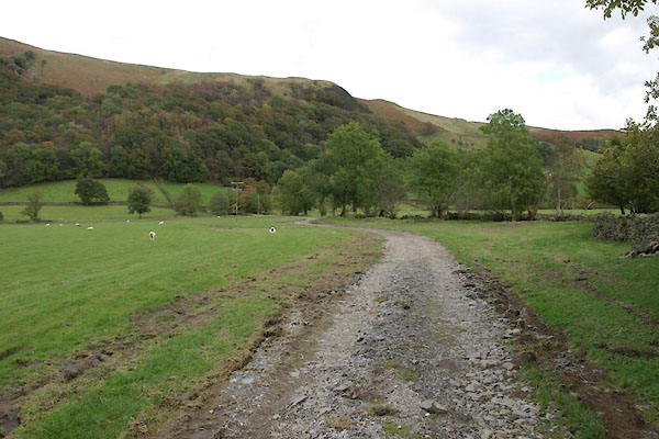 BXN25.jpg (taken 14.10.2102) 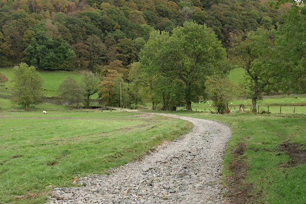 BXN26.jpg (taken 14.10.2102) 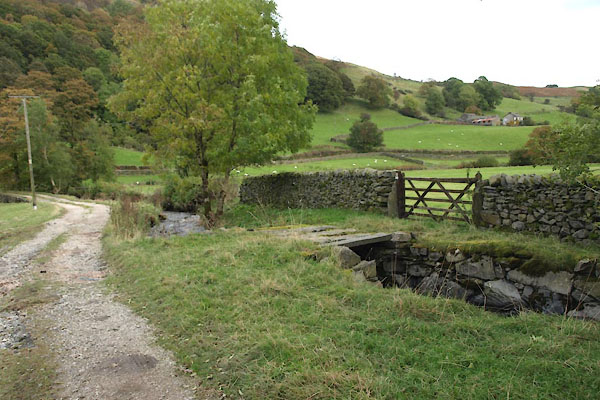 BXN27.jpg and leaves the access track, turning S again, across Dockernook Gill. (taken 14.10.2102) 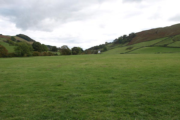 BXN28.jpg Just aim for Bridge End. (taken 14.10.2102) 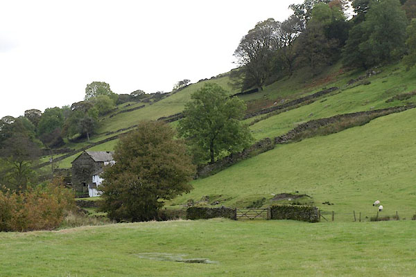 BXN29.jpg (taken 14.10.2102) 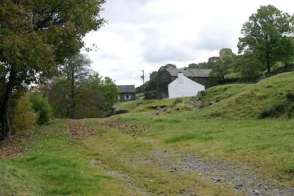 BXN30.jpg (taken 14.10.2102) 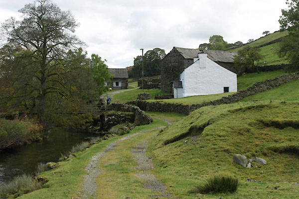 BXN31.jpg (taken 14.10.2102) 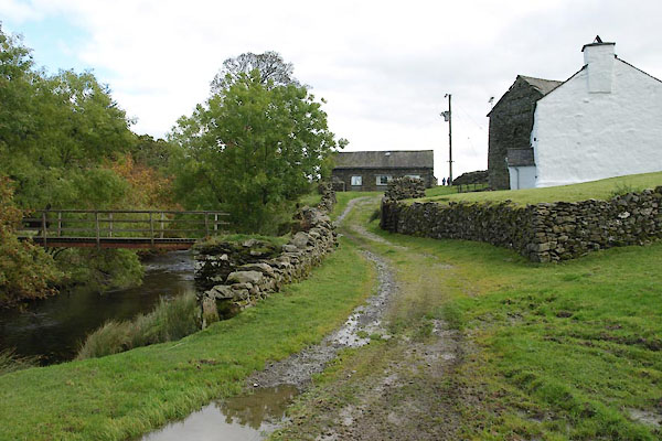 BXN32.jpg Bridge End on the right, its footbridge across the Sprint on the left. (taken 14.10.2102) 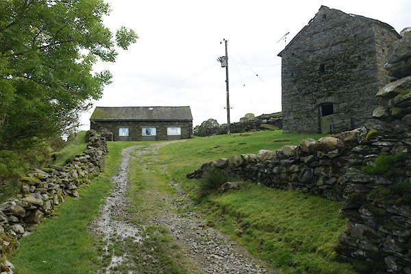 BXN33.jpg Straight ahead is The Barn, holiday blet. (taken 14.10.2102) 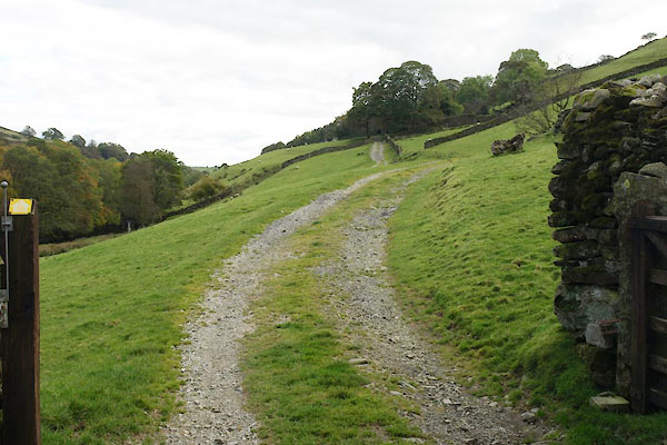 BXN34.jpg (taken 14.10.2102) 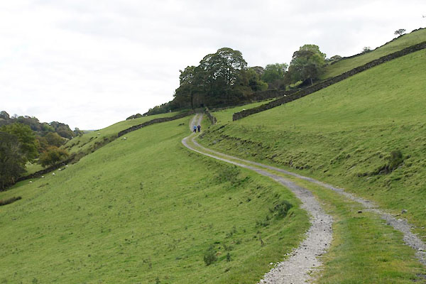 BXN35.jpg (taken 14.10.2102) 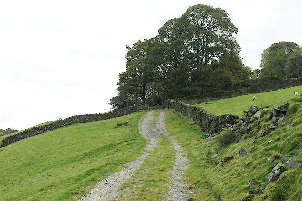 BXN36.jpg (taken 14.10.2102) 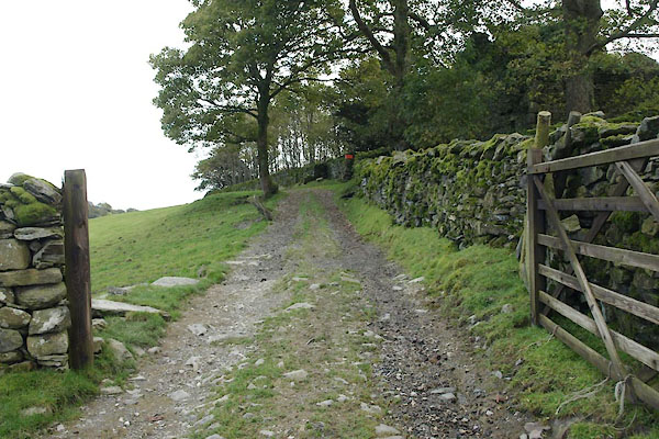 BXN37.jpg (taken 14.10.2102) 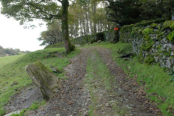 BXN38.jpg The ruins of Tenter Howe are in the ttrees on the right. Notice the stone on the left. (taken 14.10.2102) 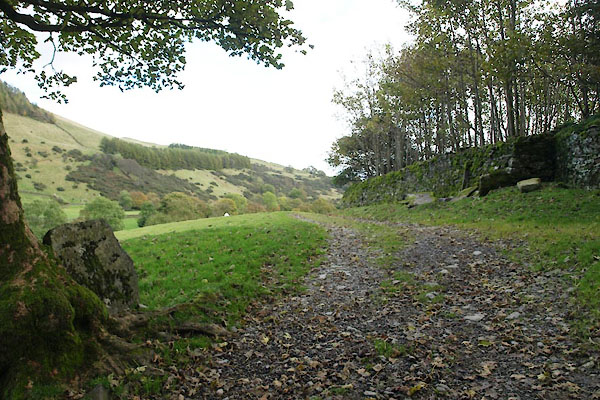 BXN39.jpg Another stone, grown into the tree. (taken 14.10.2102) 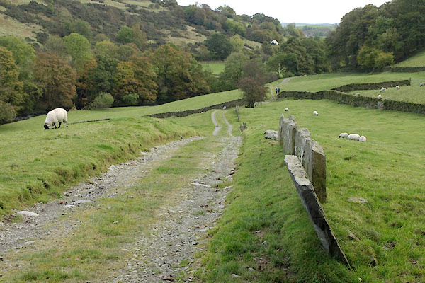 BXN40.jpg The stone slabs are a stone wall, familiar elsewhere in The Lakes. They are not a roman wall as some would have you think. (taken 14.10.2102) 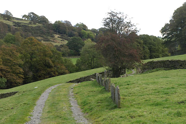 BXN41.jpg More slab stone wall. (taken 14.10.2102) 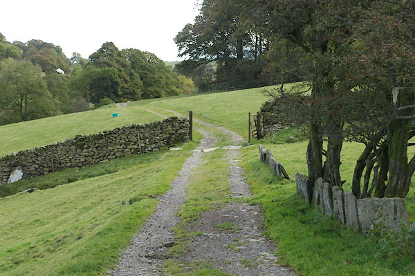 BXN42.jpg More slab stone wall. (taken 14.10.2102) 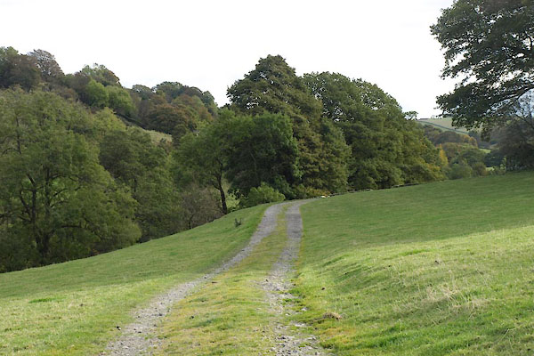 BXN43.jpg (taken 14.10.2102) 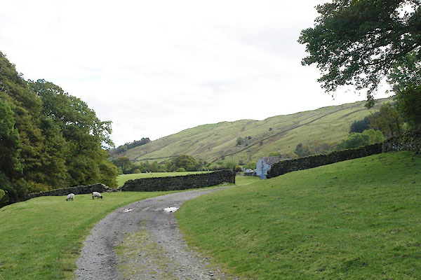 BXN44.jpg (taken 14.10.2102) 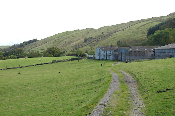 BXN45.jpg (taken 14.10.2102) 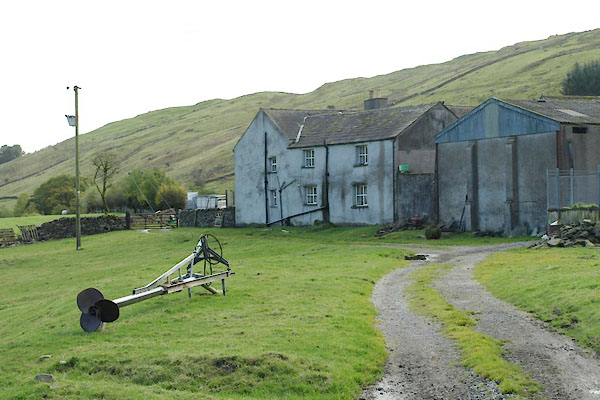 BXN46.jpg Nether House Farm. The propeller is s stirrer for the sludge it. (taken 14.10.2102) 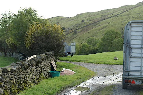 BXN47.jpg (taken 14.10.2102) 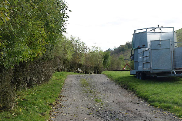 BXN48.jpg (taken 14.10.2102) 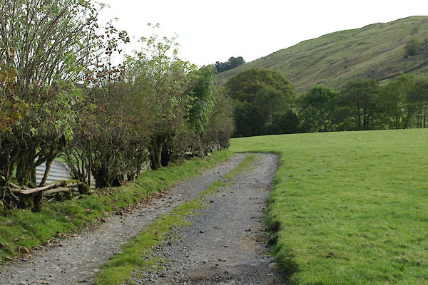 BXN49.jpg (taken 14.10.2102) 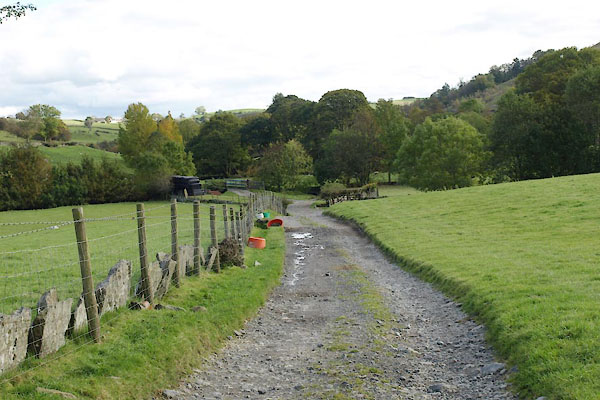 BXN50.jpg (taken 14.10.2102) 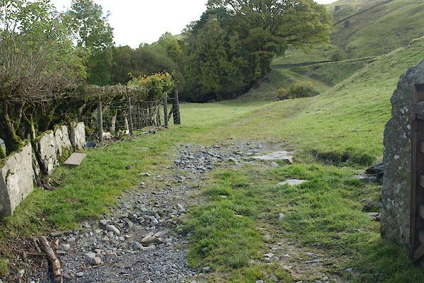 BXN52.jpg The path goes slightly to the right: not acroos the bridge, which is the Nether House access track. (taken 14.10.2102) 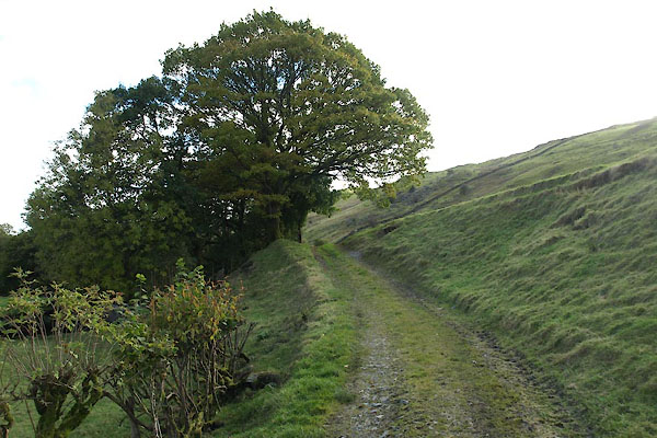 BXN53.jpg (taken 14.10.2102) 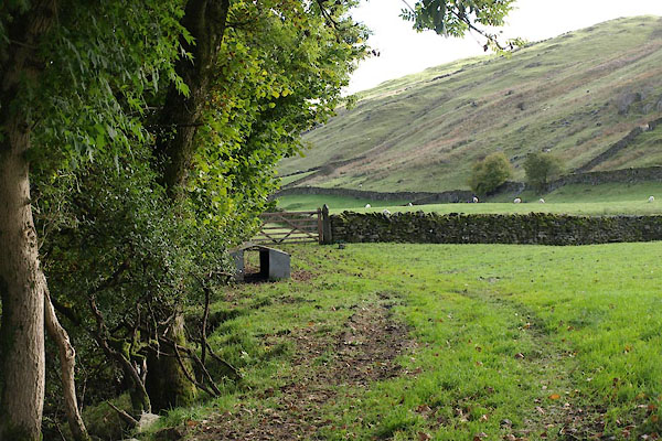 BXN54.jpg (taken 14.10.2102) 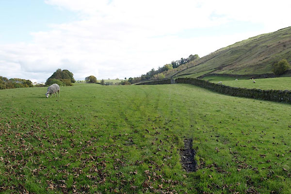 BXN55.jpg (taken 14.10.2102) 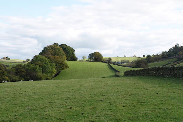 BXN56.jpg (taken 14.10.2102) 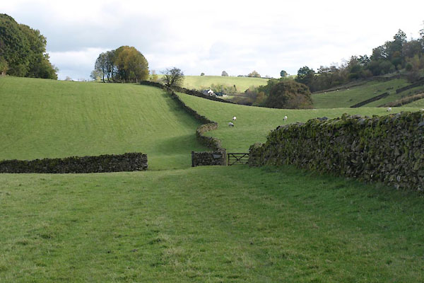 BXN57.jpg (taken 14.10.2102) 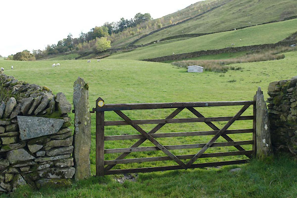 BXN58.jpg A waymark and a guide sign 'BRIDLEWAY'. (taken 14.10.2102)  parish boundary 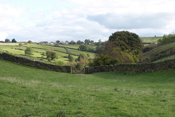 BXN59.jpg (taken 14.10.2102) 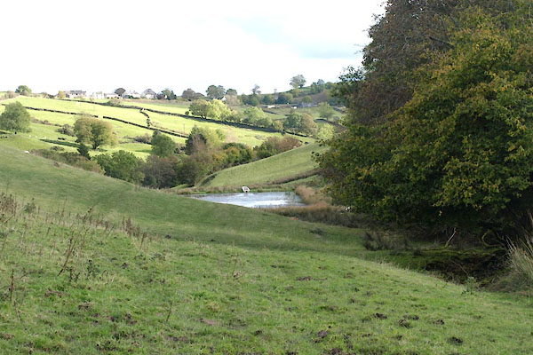 BXN60.jpg (taken 14.10.2102) 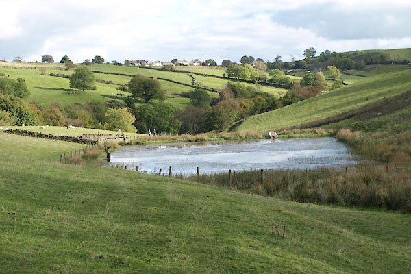 BXN61.jpg A small reservoir. (taken 14.10.2102) 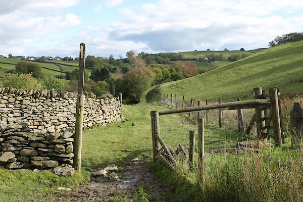 BXN62.jpg (taken 14.10.2102) 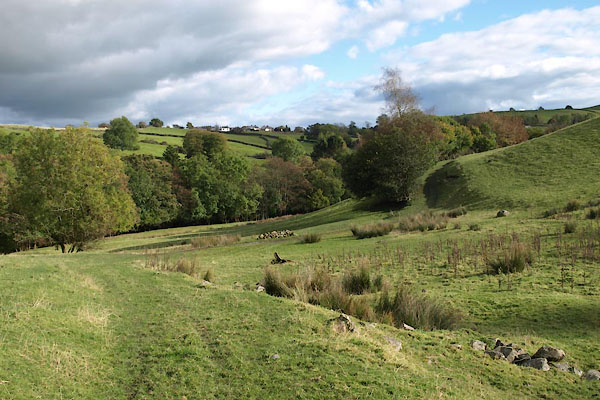 BXN63.jpg (taken 14.10.2102) 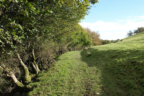 BXN64.jpg (taken 14.10.2102) 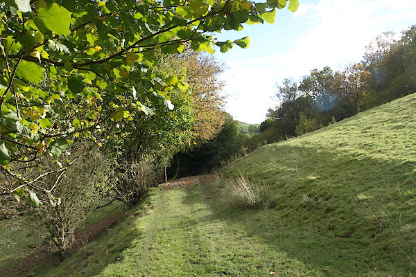 BXN65.jpg (taken 14.10.2102) 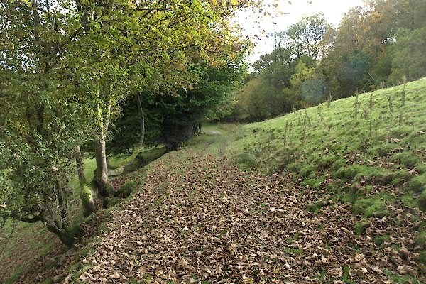 BXN66.jpg (taken 14.10.2102) 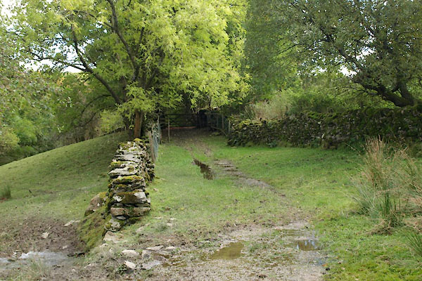 BXN67.jpg Garnett Bridge Wood on the right. (taken 14.10.2102) 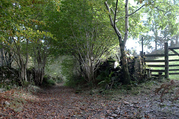 BXN68.jpg Junction: the older path goes to the right to come out on the road to Burneside, straight on goes into Garnett Bridge, newly made a bridleway. (taken 14.10.2102) 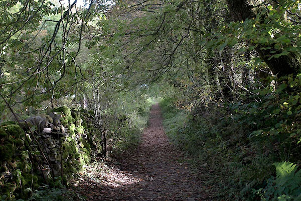 BXN69.jpg (taken 14.10.2102) 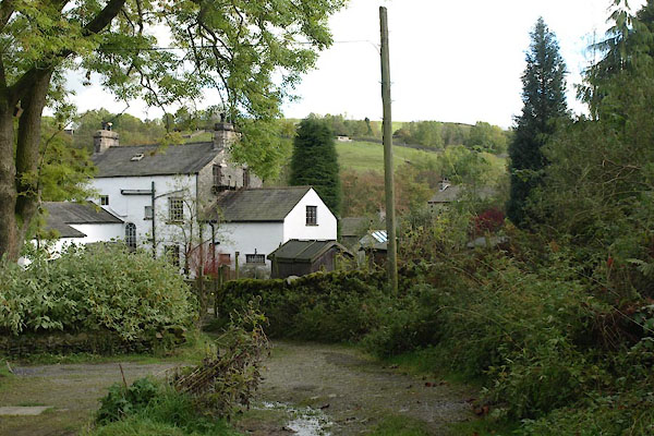 BXN70.jpg (taken 14.10.2102) 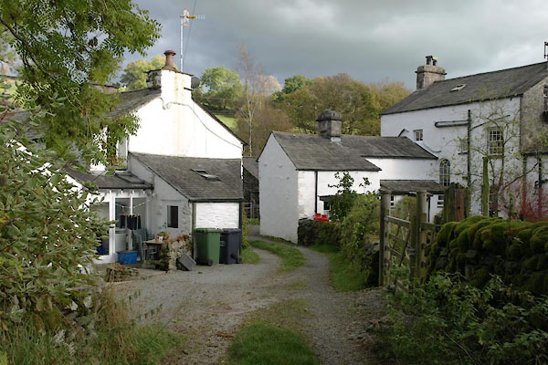 BXN71.jpg Coming into Garnett Bridge. (taken 14.10.2102) 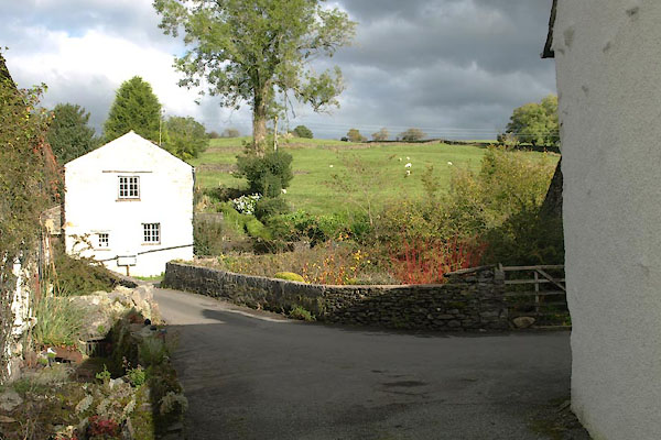 BXN72.jpg Garnett Bridge, over the Sprint. (taken 14.10.2102) |
||
|
|
||
Lakes Guides menu.