 Old Cumbria Gazetteer
 |
 |
|
| Wandale, Ravenstonedale (2) | ||
| Wandale | ||
| locality:- | Wandale | |
| civil parish:- | Ravenstonedale (formerly Westmorland) | |
| county:- | Cumbria | |
| locality type:- | buildings | |
| coordinates:- | SD70569833 | |
| 1Km square:- | SD7098 | |
| 10Km square:- | SD79 | |
| SummaryText:- | group of house ruins | |
|
|
||
| MN photo:- |
Middle Wandaleside? |
|
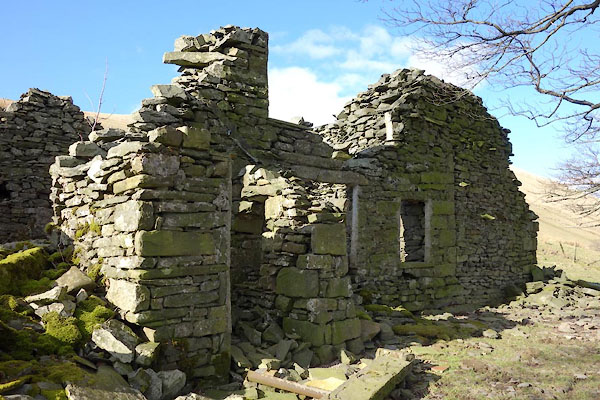 CER53.jpg (taken 7.3.2016) 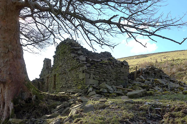 CER52.jpg (taken 7.3.2016) |
||
|
|
||
| evidence:- | old map:- OS County Series (Wmd 35 8) placename:- Wandale |
|
| source data:- | Maps, County Series maps of Great Britain, scales 6 and 25
inches to 1 mile, published by the Ordnance Survey, Southampton,
Hampshire, from about 1863 to 1948. |
|
|
|
||
| evidence:- | old map:- Jefferys 1770 (Wmd) placename:- Wandale |
|
| source data:- | Map, 4 sheets, The County of Westmoreland, scale 1 inch to 1
mile, surveyed 1768, and engraved and published by Thomas
Jefferys, London, 1770.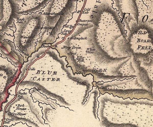 J5SD79NW.jpg "Wandale" circle, labelled in italic lowercase text; settlement, farm, house, or hamlet? item:- National Library of Scotland : EME.s.47 Image © National Library of Scotland |
|
|
|
||
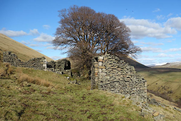
| MN photo:- |
Middle Wandaleside? |
|
 CER54.jpg (taken 7.3.2016) 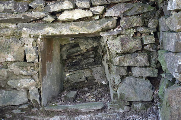 CER55.jpg (taken 7.3.2016) 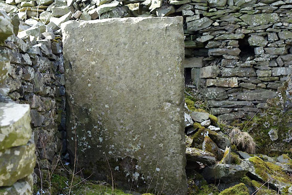 CER56.jpg (taken 7.3.2016) 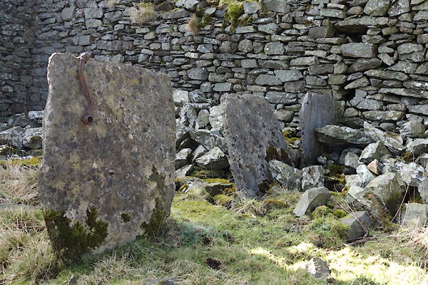 CER57.jpg (taken 7.3.2016) |
||
|
|
||
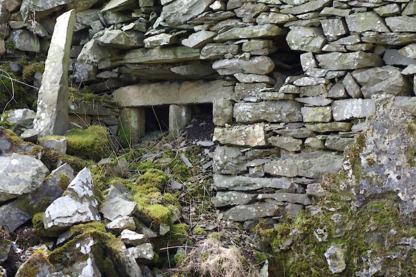
| MN photo:- |
Northermost, High Wandaleside? |
|
 CER49.jpg (taken 7.3.2016) 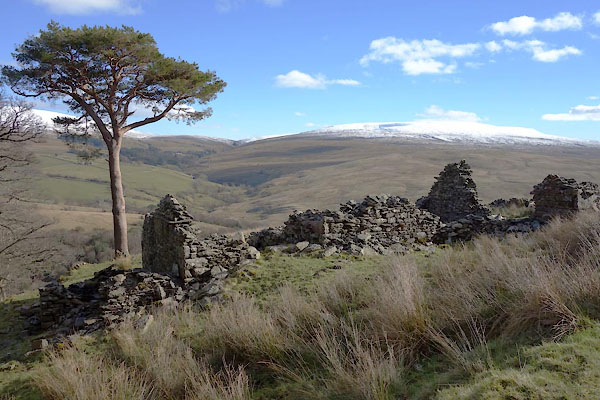 CER50.jpg (taken 7.3.2016) 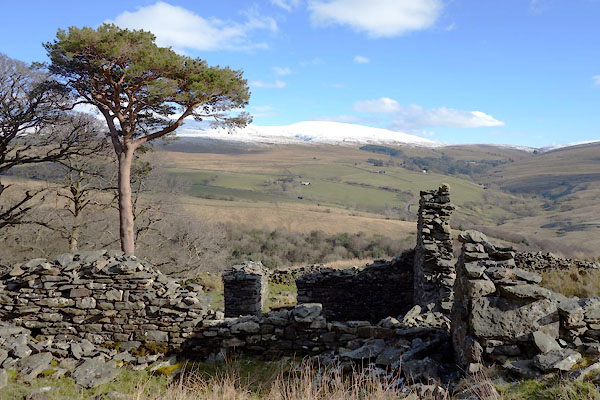 CER51.jpg (taken 7.3.2016) |
||
|
|
||
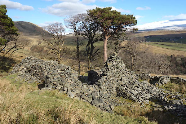
| MN photo:- |
Southermost, Low Wandaleside? or an out house? |
|
 CER58.jpg (taken 7.3.2016) 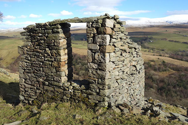 CER59.jpg (taken 7.3.2016) |
||
|
|
||
 Lakes Guides menu.