 Old Cumbria Gazetteer
 |
 |
|
|
| Westmorland: threapland 12 | |||
| Disputed Ground | |||
| locality:- | Bowderdale Head | ||
| civil parish:- | Sedbergh (formerly Yorkshire) | ||
| county:- | Cumbria | ||
| locality type:- | threapland | ||
| locality type:- | county boundary | ||
| coordinates:- | SD691978 (etc) | ||
| 1Km square:- | SD6997 | ||
| 10Km square:- | SD69 | ||
| county:- | North Yorkshire | ||
|
|
|||
| evidence:- | old map:- Dugdale 1835 |
||
| source data:- | Map, hand coloured engraving, Westmoreland ie Westmorland, scale
about 5.5 miles to 1 inch, by J Archer, Pentonville, London,
about 1835, version about 1847?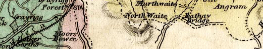 AR17Th12.jpg two boundaries item:- JandMN : 318 Image © see bottom of page |
||
|
|
|||
| evidence:- | old map:- Walker 1837 |
||
| source data:- | Map, Westmorland, scale about 3 miles to 1 inch, by J and C
Walker, about 1837, published by Longman, Rees, Orme, Brown,
Etc, Paternoster Row, London, 1837, edition about 1860s.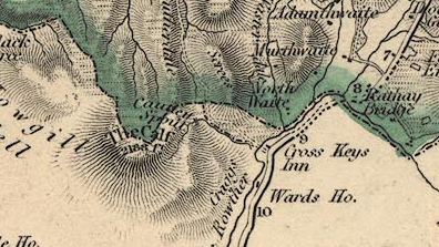 WKR4Th12.jpg two boundaries item:- JandMN : 122 Image © see bottom of page |
||
|
|
|||
| evidence:- | old map:- Letts 1884 |
||
| source data:- | Map, colour printed, Westmoreland ie Westmorland, scale about 3
miles to 1 inch, published by Letts, Son and Co, London Bridge,
London, 1884.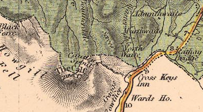 LET2Th12.jpg two boundaries item:- JandMN : 17 Image © see bottom of page |
||
|
|
|||
| evidence:- | old map:- Bartholomew 1940s |
||
| source data:- | Map, colour lithograph, Bartholomew's Revised Half Inch
Contoured Maps, sheet 35, Teesdale, scale about 2 miles to 1
inch, by John Bartholomew and Sons, The Edinburgh Geographical
Institute, Duncan Street, Edinburgh, Lothian, Scotland, 1952.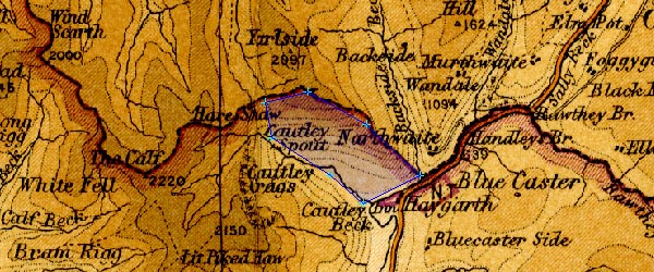 BA22Th12.jpg item:- JandMN : 828.35 Image © see bottom of page |
||
|
|
|||
| mapping:- | |||
|
|
|||
 Lakes Guides menu.