Old Cumbria Gazetteer
 |
 |
|
||
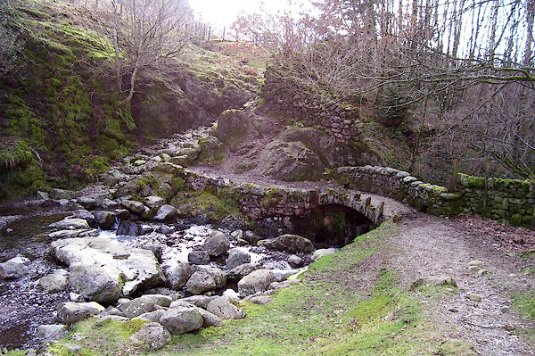
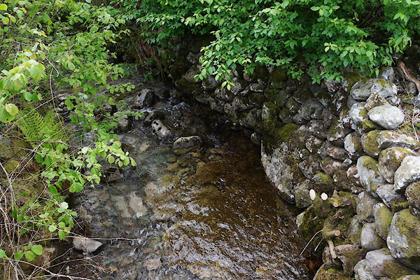
| Hardknott Gill | ||||
| runs into:- |  Esk, River (2) Esk, River (2) |
|||
|
|
||||
| civil parish:- | Ulpha (formerly Cumberland) | |||
| county:- | Cumbria | |||
| locality type:- | river | |||
| locality type:- | valley | |||
| 1Km square:- | NY2301 (etc) | |||
| 10Km square:- | NY20 | |||
|
|
||||
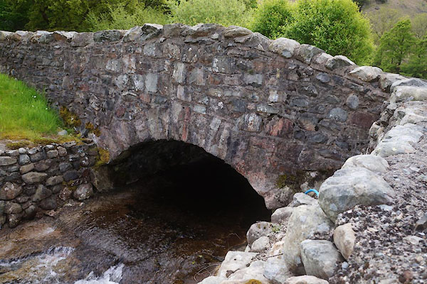
 CDE41.jpg At a bridge, (taken 4.6.2015) |
||||
|
|
||||
| evidence:- | old map:- OS County Series (Cmd 80 9) placename:- Hardknott Gill |
|||
| source data:- | Maps, County Series maps of Great Britain, scales 6 and 25
inches to 1 mile, published by the Ordnance Survey, Southampton,
Hampshire, from about 1863 to 1948. |
|||
|
|
||||
| evidence:- | old map:- Donald 1774 (Cmd) |
|||
| source data:- | Map, hand coloured engraving, 3x2 sheets, The County of Cumberland, scale about 1
inch to 1 mile, by Thomas Donald, engraved and published by Joseph Hodskinson, 29
Arundel Street, Strand, London, 1774.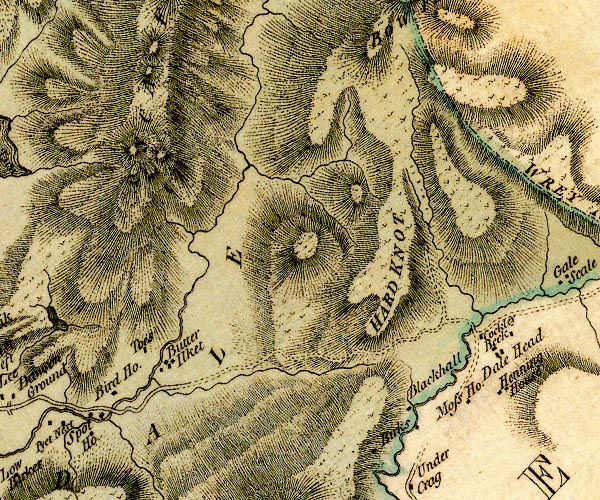 D4NY20SW.jpg single or double wiggly line; a river ??? item:- Carlisle Library : Map 2 Image © Carlisle Library |
|||
|
|
||||
| evidence:- | old photograph:- Bell 1880s-1940s item:- ford |
|||
| source data:- | Photograph, black and white, Hardknott Gill, Ulpha, Cumberland, by Herbert Bell, Ambleside,
Westmorland, 1890s.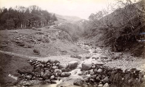 click to enlarge click to enlargeHB0526.jpg internegative at lower left:- "H. Bell" item:- Armitt Library : ALPS189 Image © see bottom of page |
|||
|
|
||||
| evidence:- | old photograph:- Bell 1880s-1940s item:- ford |
|||
| source data:- | Photograph, sepia, ford in Hardknott Gill, Ulpha, Cumberland, by Herbert Bell, Ambleside,
Westmorland, 1890s.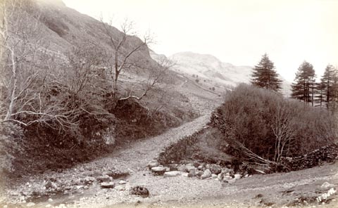 click to enlarge click to enlargeHB0528.jpg internegative at lower right:- "H. Bell" item:- Armitt Library : ALPS191 Image © see bottom of page |
|||
|
|
||||
| places:- |
|
|||
|
||||
Lakes Guides menu.