item:-
JandMN : 182.5
image:-
©
see bottom of page
CT14.jpg
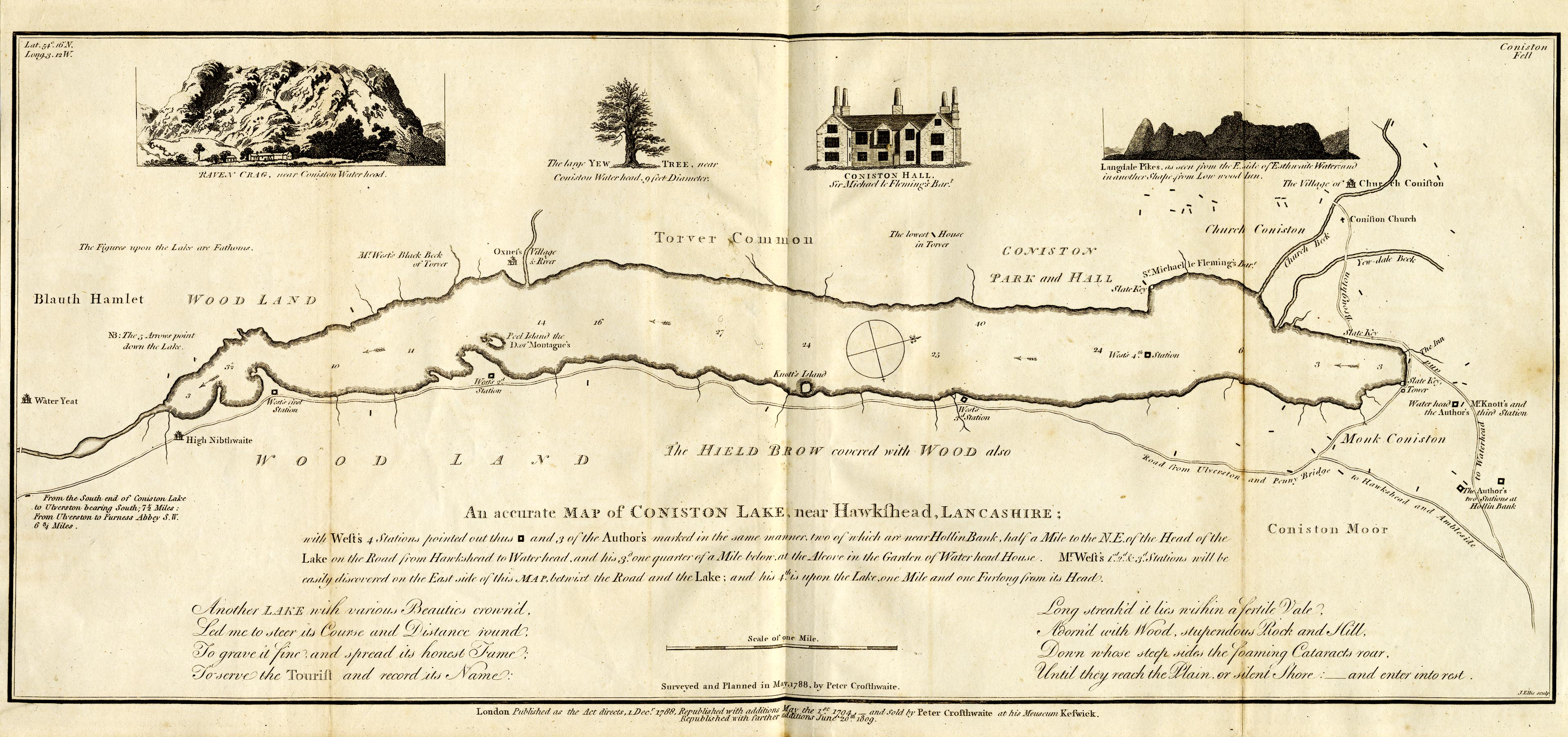
Map, uncoloured engraving, An Accurate Map of Coniston Lake, scale about 3 inches to 1 mile, by Peter Crosthwaite, Keswick, Cumberland, 1788, version published 1809.
Lakes Guides menu.
 Lakes Guides menu.