item:- Carlisle Library : Map 126
image:- © Carlisle Library
 DAW6P1.jpg
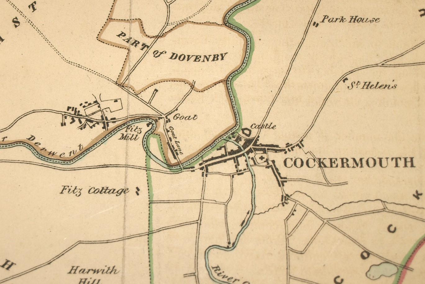
Map, hand coloured lithograph, Cockermouth, proposed new
boundary, scale about 2 inches to 1 mile, by Captain Robert K
Dawson, printed by R Cartwright, London? about 1832.
 Lakes Guides menu.