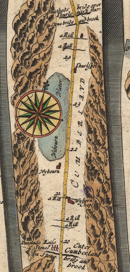
 Ogilby 1675, plate 96


|
|
|
|
|
gazetteer links places may or may not be labelled on the map |
||

|
-- (Armboth Fell, St John's Castlerigg etc (OG96inc)) |
|
|
|
-- (Birkside Gill (OG96inc)) |
|
|
|
-- (bridge, Legburthwaite (OG96inc)) |
|
|
|
-- (Castlerigg Fell, St John's Castlerigg etc (OG96inc)) |
|
|
|
-- (Fisherplace Gill (OG96inc)) |
|
|
|
-- (Helvellyn, St John's Castlerigg etc (OG96inc)) |
|
|
|
-- (How Beck (OG96inc)) |
|
|
|
-- (Stanah, St John's Castlerigg etc (OG96inc)) |
|
|
|
-- (Sty Beck (OG96inc)) |
|
|
|
-- Wibourn Water -- (Thirlmere, St John's Castlerigg etc
(OG96inc)) |
|
|
|
-- Thurlspot -- (Thirlspot, St John's Castlerigg etc
(OG96inc)) |
|
|
|
-- (Whelpside Gill (OG96inc)) |
|
|
|
-- Wyborn Chapel -- (Wythburn Chapel, Wythburn (OG96inc)) |
|
|
|
-- (Wythburn Fells, St John's Castlerigg etc (OG96inc)) |
|
|
|
-- Wybourn -- (Wythburn, St John's Castlerigg etc (OG96inc)) |
|
|
civil parishes The route segment roughly includes parts of parishes:- St John's Castlerigg and Wythburn |
Lakes Guides menu.