 Otley 1818 NY50


|

|
|
|
gazetteer links places may or may not be labelled on the map |
||

|
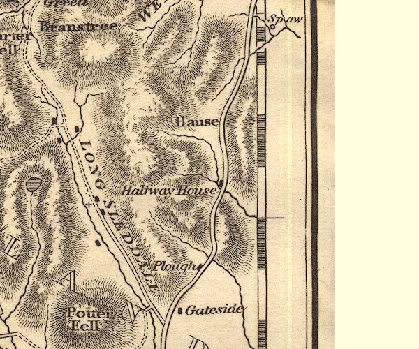
-- Bannisdale Beck |
|
|
|
-- Gateside |
|
|
|
-- Hucks Bridge Inn |
|
|
|
-- Hucks Bridge |
|
|
|
-- Longsleddale -- "LONGSLEDDALE" |
|
|
|
-- Plough Inn |
|
|
|
-- Kendal to Shap |
|
|
|
-- Sprint, River |
|
|
civil parishes The area roughly includes parts of parishes:- Shap Rural Whinfell Orton S Tebay Fawcett Forest Longsleddale Grayrigg Strickland Roger Whitwell and Selside Crosby Ravensworth |
||
|
|
||
|
|
Lakes Guides menu. | |