 West 1784 map NY21


|

|
|
|
gazetteer links places may or may not be labelled on the map |
||

|
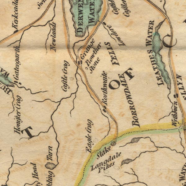
-- Borrowdale Fells -- "BORROWDALE FELLS" |
|
|
|
-- Bowder Stone |
|
|
|
-- Castle Crag |
|
|
|
-- Eagle Crag |
|
|
|
-- Grains Gill |
|
|
|
-- Grange |
|
|
|
-- Newlands |
|
|
|
-- Rosthwaite |
|
|
|
-- Stake Pass |
|
|
|
-- Stonethwaite Beck |
|
|
civil parishes The area roughly includes parts of parishes:- St John's Castlerigg and Wythburn Buttermere Borrowdale Above Derwent Nether Wasdale Keswick Ennerdale and Kinniside Lakes |
||
|
|
||
|
|
Lakes Guides menu. | |