 Old Cumbria Gazetteer
 |
 |
|
| Badger Gate, Hutton Roof | ||
| Badger Gate | ||
| civil parish:- | Hutton Roof (formerly Westmorland) | |
| county:- | Cumbria | |
| locality type:- | buildings | |
| coordinates:- | SD56558006 | |
| 1Km square:- | SD5680 | |
| 10Km square:- | SD58 | |
|
|
||
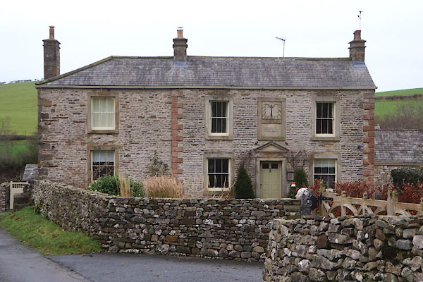 CEM24.jpg (taken 1.1.2016) 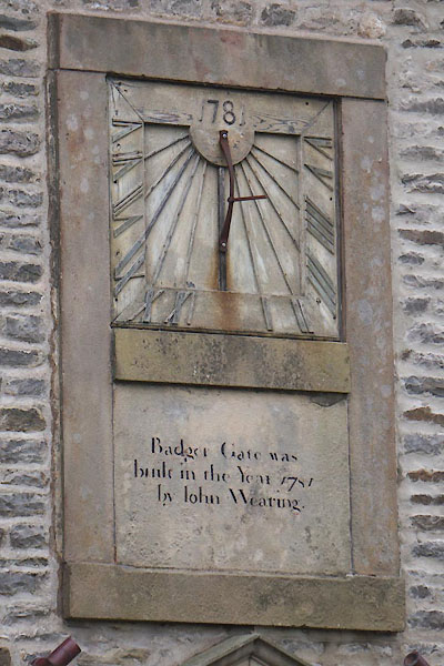 CEM26.jpg Date stone, and sundial "Badger Gate was / built in the Year 1781 / by John Wearing." (taken 1.1.2016) |
||
|
|
||
| evidence:- | old map:- OS County Series (Wmd 47 6) placename:- Badger Gate |
|
| source data:- | Maps, County Series maps of Great Britain, scales 6 and 25
inches to 1 mile, published by the Ordnance Survey, Southampton,
Hampshire, from about 1863 to 1948. |
|
|
|
||
| evidence:- | database:- Listed Buildings 2010 placename:- Badger Gate item:- date stone (1761); date stone (1781); sundial |
|
| source data:- | courtesy of English Heritage "BADGER GATE AND ATTACHED BARNS / / / HUTTON ROOF / SOUTH LAKELAND / CUMBRIA / II / 75665 / SD5654380064" |
|
|
|
||
 sundial sundial |
||
|
|
||
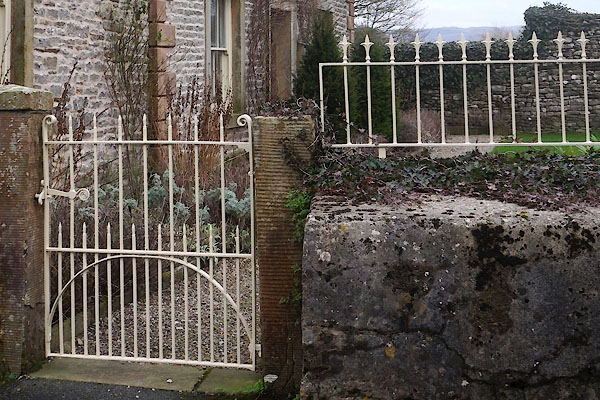 CEM27.jpg Gate and railings. (taken 1.1.2016) 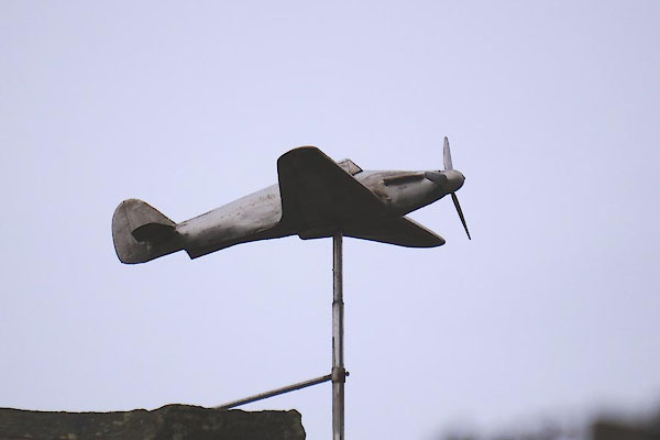 CEM28.jpg Weathervane. (taken 1.1.2016) 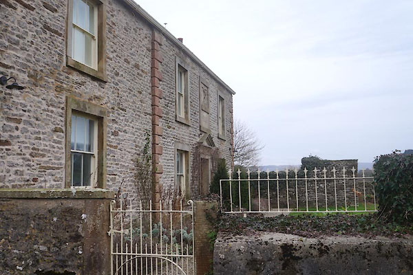 CEM25.jpg (taken 1.1.2016) |
||
|
|
||
 Lakes Guides menu.