 Old Cumbria Gazetteer
 |
 |
|
| Barfield, Whicham | ||
| Barfield | ||
| civil parish:- | Whicham (formerly Cumberland) | |
| county:- | Cumbria | |
| locality type:- | buildings | |
| coordinates:- | SD10408703 | |
| 1Km square:- | SD1087 | |
| 10Km square:- | SD18 | |
|
|
||
| evidence:- | old map:- Donald 1774 (Cmd) placename:- Bar Field |
|
| source data:- | Map, hand coloured engraving, 3x2 sheets, The County of Cumberland, scale about 1
inch to 1 mile, by Thomas Donald, engraved and published by Joseph Hodskinson, 29
Arundel Street, Strand, London, 1774.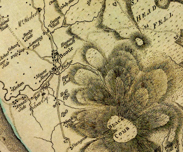 D4SD18NW.jpg "Bar Field / Gibson Esqr." house item:- Carlisle Library : Map 2 Image © Carlisle Library |
|
|
|
||
 Lakes Guides menu.