 Old Cumbria Gazetteer
 |
 |
|
| Black Bull, Brough Sowerby | ||
| Black Bull | ||
| locality:- | Brough Sowerby | |
| civil parish:- | Brough Sowerby (formerly Westmorland) | |
| county:- | Cumbria | |
| locality type:- | inn | |
| coordinates:- | NY79301273 | |
| 1Km square:- | NY7912 | |
| 10Km square:- | NY71 | |
|
|
||
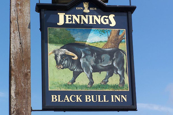 BLW99.jpg Innsign, a black bull. (taken 21.4.2006) 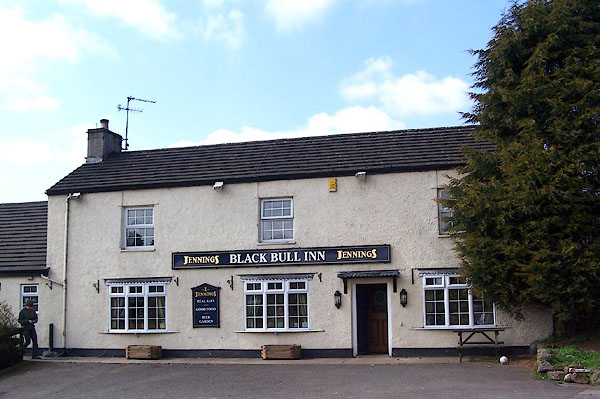 BLW98.jpg (taken 21.4.2006) |
||
|
|
||
| evidence:- | probably descriptive text:- Wallis 1810 placename:- Black Bull |
|
| source data:- | Map, Westmoreland, scale about 19 miles to 1 inch, and
Cumberland, scale about 16 miles to 1 inch, by James Wallis, 77
Berwick Street, Soho, London, 1810; published 1810-36. "PRINCIPAL INNS, RECOMMENDED TO TRAVELLERS AND FAMILIES." "Brough: Swan, Black Bull, Fleece, New Inn." |
|
|
|
||
 Lakes Guides menu.