 Old Cumbria Gazetteer
 |
 |
|
| Blencathra Mine, Threlkeld | ||
| Blencathra Mine | ||
| site name:- | Glenderaterra Valley | |
| civil parish:- | Threlkeld (formerly Cumberland) (?) | |
| county:- | Cumbria | |
| locality type:- | lead mine | |
| locality type:- | mine | |
| coordinates:- | NY29662671 | |
| 1Km square:- | NY2926 | |
| 10Km square:- | NY22 | |
| references:- | Adams, John: 1988: Mines of the Lake District Fells: Dalesman Books (Lancaster, Lancashire)::
ISBN 0 85206 931 6 |
|
|
|
||
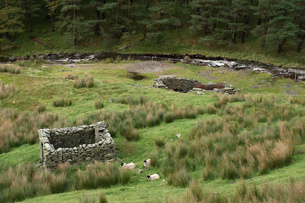 BXM67.jpg (taken 12.10.2012) |
||
|
|
||
| evidence:- | old map:- OS County Series (Cmd 56 15) placename:- Blencathra Mine |
|
| source data:- | Maps, County Series maps of Great Britain, scales 6 and 25
inches to 1 mile, published by the Ordnance Survey, Southampton,
Hampshire, from about 1863 to 1948. "Blencathra Mine (Lead) / Shaft" |
|
|
|
||
| :- |
Worked in mid 19th century; abandoned 1870s-80s. |
|
| Blencathra Vein, poor quality ore, some lead. less copper and baryte. |
||
| Adams, John: 1988: Mines of the Lake District Fells: Dalesman Books (Lancaster, Lancashire)::
ISBN 0 85206 931 6 |
||
|
|
||
 Lakes Guides menu.