 Old Cumbria Gazetteer
 |
 |
|
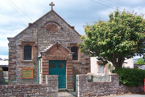
| Bolton Methodist Church, Bolton | ||
| Bolton Methodist Church | ||
| Street:- | Chapel Street | |
| locality:- | Bolton | |
| civil parish:- | Bolton (formerly Westmorland) | |
| county:- | Cumbria | |
| locality type:- | methodist chapel | |
| locality type:- | chapel | |
| coordinates:- | NY636232 | |
| 1Km square:- | NY6323 | |
| 10Km square:- | NY62 | |
|
|
||
 BME02.jpg (taken 30.5.2006) |
||
|
|
||
| evidence:- | old map:- OS County Series (Wmd 9 9) |
|
| source data:- | Maps, County Series maps of Great Britain, scales 6 and 25
inches to 1 mile, published by the Ordnance Survey, Southampton,
Hampshire, from about 1863 to 1948. "Methodist Chapel (Wesleyan)" |
|
|
|
||
 Lakes Guides menu.