 Old Cumbria Gazetteer
 |
 |
|
| Bram Rigg Top, Sedbergh | ||
| Bram Rigg Top | ||
| locality:- | Brant Fell | |
| locality:- | Howgill Fells | |
| civil parish:- | Sedbergh (formerly Yorkshire) | |
| county:- | Cumbria | |
| locality type:- | hill | |
| coordinates:- | SD66859646 | |
| 1Km square:- | SD6696 | |
| 10Km square:- | SD69 | |
| altitude:- | 2205 feet | |
| altitude:- | 672m | |
|
|
||
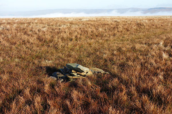 BXU60.jpg A little cairn. (taken 9.1.2013) |
||
|
|
||
 Lakes Guides menu.