 Old Cumbria Gazetteer
 |
 |
|
| bridge, Hutton Roof | ||
| site name:- | Sealford Beck | |
| civil parish:- | Hutton Roof (formerly Westmorland) | |
| county:- | Cumbria | |
| locality type:- | bridge | |
| coordinates:- | SD57327835 | |
| 1Km square:- | SD5778 | |
| 10Km square:- | SD57 | |
|
|
||
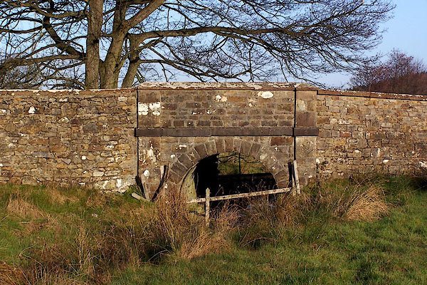 BLL74.jpg (taken 16.12.2005) 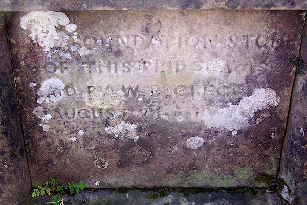 BLL75.jpg Plaque, hard to read:- "[THE FOUNDATION STONE OF THIS BRIDGE WAS LAID BY W. B. GREGG AUGUST 24th 1867]" (taken 16.12.2005) |
||
|
|
||
| evidence:- | old map:- Jefferys 1770 (Wmd) |
|
| source data:- | Map, 4 sheets, The County of Westmoreland, scale 1 inch to 1
mile, surveyed 1768, and engraved and published by Thomas
Jefferys, London, 1770.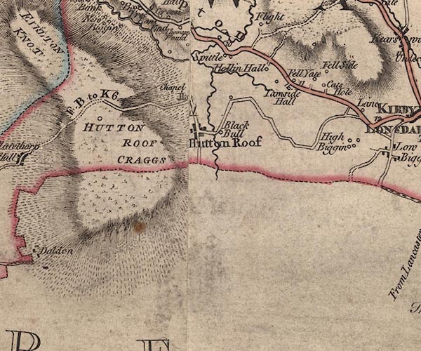 J5SD57NE.jpg double line, road, across a stream; bridge item:- National Library of Scotland : EME.s.47 Image © National Library of Scotland |
|
|
|
||
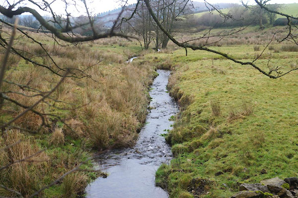 CFV07.jpg View of river. (taken 30.1.2017) |
||
|
|
||
 Lakes Guides menu.