 |
 |
|
|
|
|
Bullgill |
| civil parish:- |
Gilcrux (formerly Cumberland) |
| county:- |
Cumbria |
| locality type:- |
locality |
| locality type:- |
buildings |
| coordinates:- |
NY09653838 (etc) |
| 1Km square:- |
NY0938 |
| 10Km square:- |
NY03 |
|
|
| evidence:- |
old map:- OS County Series (Cmd 45 3)
placename:- Bullgill
|
| source data:- |
Maps, County Series maps of Great Britain, scales 6 and 25
inches to 1 mile, published by the Ordnance Survey, Southampton,
Hampshire, from about 1863 to 1948.
|
|
|
| places:- |
 |
NY09653864 Allerby Mill (Oughterside and Allerby / Crosscanonby) |
|
|
 |
NY09603849 Bullgill Bridge (Crosscanonby) |
|
|
|
NY09893816 Bullgill Old Pit (Gilcrux) |
|
|
|
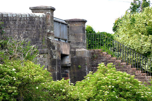
NY09583854 Bullgill Station (Crosscanonby) |
|
|
|
NY09683851 Ellen Pit (Gilcrux) gone |
|
|
 |
NY09663838 Main Band Cottage (Gilcrux) |
|
|
 |
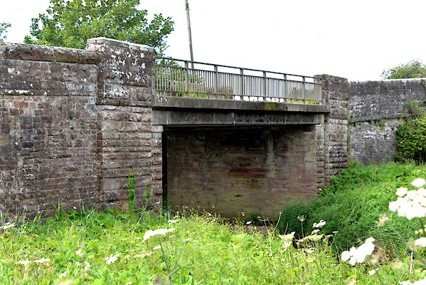
NY09583852 railway bridge, Bullgill (Crosscanonby) |
|
|
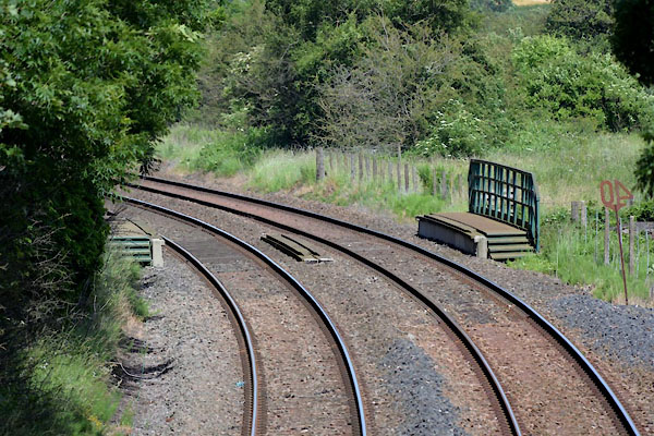 |
NY09733860 railway bridge, Bullgill (2) (Oughterside and Allerby) |
|
|
|
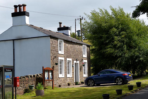
NY09693833 Railway Inn (Gilcrux) |
|
|
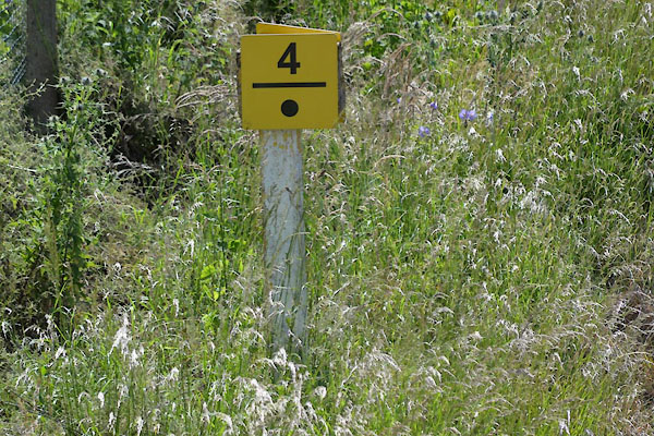 |
NY09533849 railway milepost, Bullgill (Crosscanonby) |
|
|
|
NY09433846 railway sidings, Crosby Colliery (Crosscanonby) |
|
|
|
NY09773864 railway sidings, Ellen Pit (Gilcrux / Oughterside and Allerby) |
|
