 Old Cumbria Gazetteer
 |
 |
|
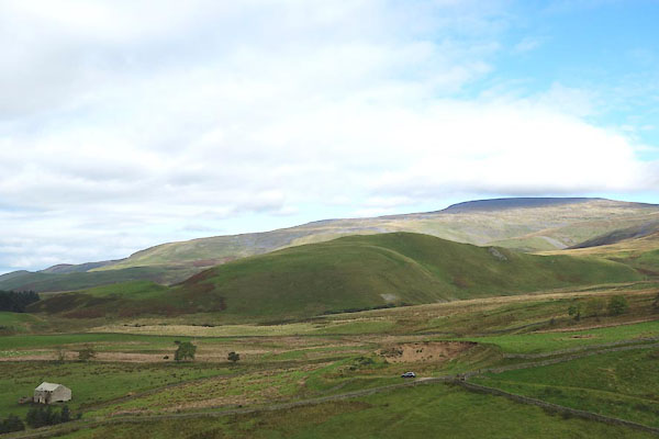
| Burney Hill, Milburn | ||
| Burney Hill | ||
| civil parish:- | Milburn (formerly Westmorland) | |
| county:- | Cumbria | |
| locality type:- | hill | |
| coordinates:- | NY68513011 (etc) | |
| 1Km square:- | NY6830 | |
| 10Km square:- | NY63 | |
| altitude:- | 1402 feet | |
| altitude:- | 427m | |
|
|
||
 CGP07.jpg (taken 19.9.2017) |
||
|
|
||
| evidence:- | old map:- OS County Series (Wmd 5 7) placename:- Burney Hill |
|
| source data:- | Maps, County Series maps of Great Britain, scales 6 and 25
inches to 1 mile, published by the Ordnance Survey, Southampton,
Hampshire, from about 1863 to 1948. |
|
|
|
||
 Lakes Guides menu.