 Old Cumbria Gazetteer
 |
 |
|
| Cockin, Whinfell | ||
| Cockin | ||
| civil parish:- | Whinfell (formerly Westmorland) | |
| county:- | Cumbria | |
| locality type:- | buildings | |
| coordinates:- | SD57089912 | |
| 1Km square:- | SD5799 | |
| 10Km square:- | SD59 | |
|
|
||
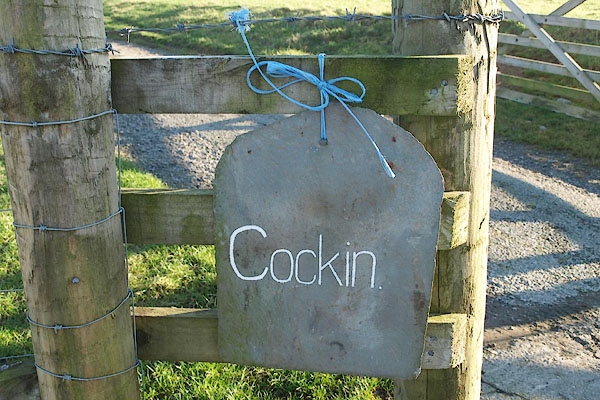 BPW22.jpg Sign, roof slate and binder twine:- "Cockin" (taken 26.12.2008) 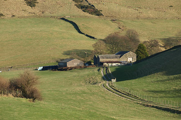 BPW23.jpg (taken 26.12.2008) |
||
|
|
||
| evidence:- | old map:- OS County Series (Wmd 34 6) placename:- Cockin |
|
| source data:- | Maps, County Series maps of Great Britain, scales 6 and 25
inches to 1 mile, published by the Ordnance Survey, Southampton,
Hampshire, from about 1863 to 1948. |
|
|
|
||
| evidence:- | probably hearth tax returns:- Hearth Tax 1675 placename:- Cockney |
|
| source data:- | Records, hearth tax survey returns, Westmorland, 1674/75. "Cockney" in "Whinfield Constablewick" |
|
|
|
||
 Lakes Guides menu.