 Old Cumbria Gazetteer
 |
 |
|
| Cogra Moss, Lamplugh | ||
| runs into:- |  Rakegill Beck Rakegill Beck |
|
|
|
||
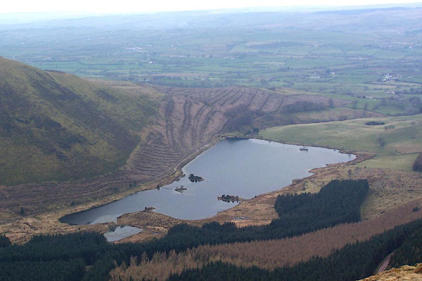
| Cogra Moss | ||
| civil parish:- | Lamplugh (formerly Cumberland) | |
| county:- | Cumbria | |
| locality type:- | moss | |
| locality type:- | tarn (?) | |
| locality type:- | reservoir (?) | |
| coordinates:- | NY09581955 (etc) | |
| 1Km square:- | NY0919 | |
| 10Km square:- | NY01 | |
| altitude:- | 751 feet | |
| altitude:- | 229m | |
|
|
||
 BQJ21.jpg (taken 1.4.2009) |
||
|
|
||
| evidence:- | old map:- OS County Series (Cmd 62 15) placename:- Cogra Moss |
|
| source data:- | Maps, County Series maps of Great Britain, scales 6 and 25
inches to 1 mile, published by the Ordnance Survey, Southampton,
Hampshire, from about 1863 to 1948. |
|
|
|
||
Lakes Guides menu.