 Old Cumbria Gazetteer
 |
 |
|
| Cold Pike, Ulpha | ||
| Cold Pike | ||
| civil parish:- | Ulpha (formerly Cumberland) | |
| civil parish:- | Lakes (formerly Westmorland) | |
| county:- | Cumbria | |
| locality type:- | hill | |
| coordinates:- | NY262035 | |
| 1Km square:- | NY2603 | |
| 10Km square:- | NY20 | |
|
|
||
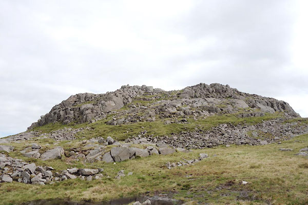 CAQ79.jpg (taken 14.5.2014) 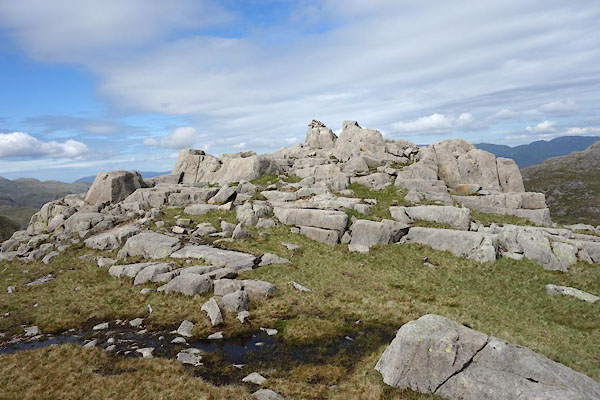 CAQ80.jpg (taken 14.5.2014) |
||
|
|
||
| evidence:- | old map:- OS County Series (Cmd 80 6) placename:- Cold Pike |
|
| source data:- | Maps, County Series maps of Great Britain, scales 6 and 25
inches to 1 mile, published by the Ordnance Survey, Southampton,
Hampshire, from about 1863 to 1948. |
|
|
|
||
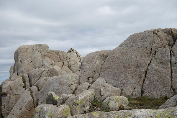 CAQ81.jpg Cairn, (taken 14.5.2014) 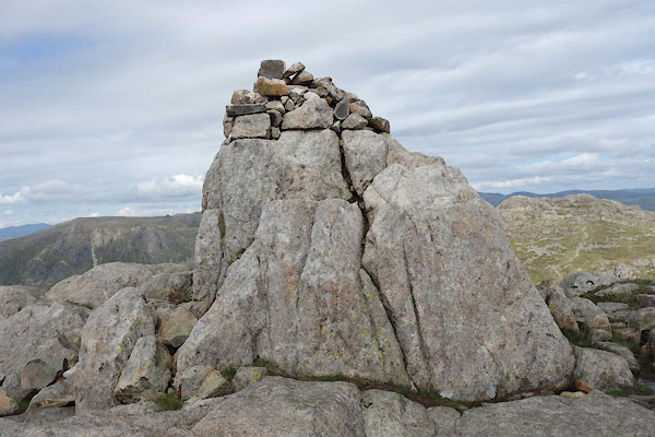 CAQ82.jpg Cairn, (taken 14.5.2014) 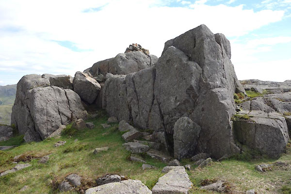 CAQ83.jpg Cairn, (taken 14.5.2014) 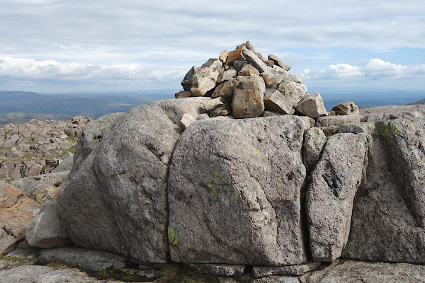 CAQ84.jpg Cairn, (taken 14.5.2014) |
||
| The cairns are on the county bounday, Westmorland Cumberland |
||
|
|
||
 Lakes Guides menu.