 Old Cumbria Gazetteer
 |
 |
|
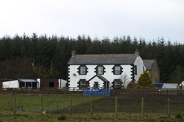
| Common House, Waterhead | ||
| Common House | ||
| civil parish:- | Waterhead (formerly Cumberland) | |
| county:- | Cumbria | |
| locality type:- | buildings | |
| coordinates:- | NY63046781 | |
| 1Km square:- | NY6367 | |
| 10Km square:- | NY66 | |
|
|
||
 BOV73.jpg (taken 21.3.2008) |
||
|
|
||
| evidence:- | old map:- OS County Series (Cmd 13 5) placename:- Common House |
|
| source data:- | Maps, County Series maps of Great Britain, scales 6 and 25
inches to 1 mile, published by the Ordnance Survey, Southampton,
Hampshire, from about 1863 to 1948. |
|
|
|
||
 Lakes Guides menu.