 Old Cumbria Gazetteer
 |
 |
|
| Corkickle Station, Whitehaven | ||
| Corkickle Station | ||
| Corkickle Street Station | ||
| site name:- | Whitehaven and Furness Junction Railway | |
| site name:- | Whitehaven, Cleator and Egremont Railway | |
| locality:- | Corkickle | |
| locality:- | Whitehaven | |
| civil parish:- | Whitehaven (formerly Cumberland) | |
| county:- | Cumbria | |
| locality type:- | railway station | |
| coordinates:- | NX97761744 | |
| 1Km square:- | NX9717 | |
| 10Km square:- | NX91 | |
| SummaryText:- | Opened 1855. | |
|
|
||
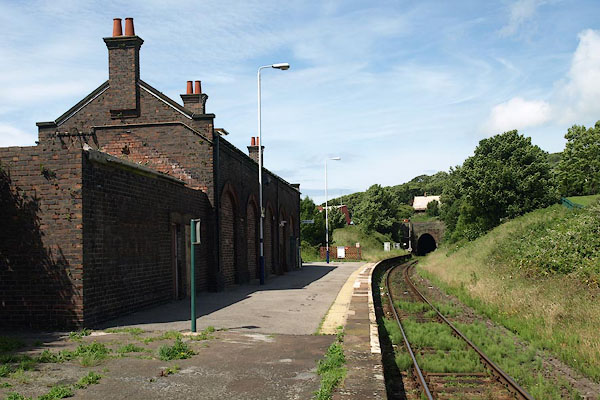 BPJ93.jpg (taken 30.6.2008) 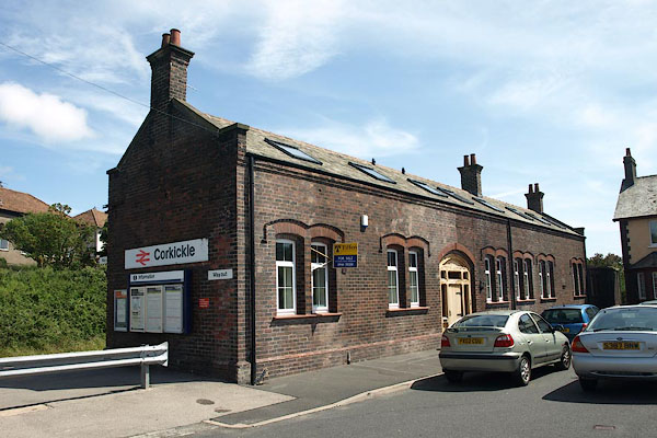 BPJ94.jpg (taken 30.6.2008) |
||
|
|
||
| evidence:- | old map:- OS County Series (Cmd 67 6) placename:- Corkickle Station item:- railway signal |
|
| source data:- | Maps, County Series maps of Great Britain, scales 6 and 25
inches to 1 mile, published by the Ordnance Survey, Southampton,
Hampshire, from about 1863 to 1948.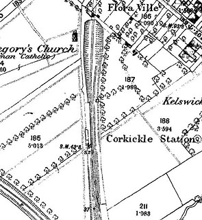 click to enlarge click to enlargeCSRY0098.jpg "Corkickle Station / S.P." and tunnel portal |
|
|
|
||
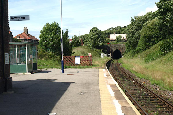 BPJ95.jpg View N; the shelter is all that belongs to the station now. (taken 30.6.2008) 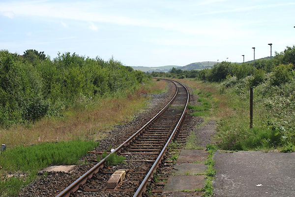 BPJ96.jpg View S. (taken 30.6.2008)  BPJ97.jpg Track etc. (taken 30.6.2008) |
||
|
|
||
 Lakes Guides menu.