Old Cumbria Gazetteer
 |
 |
|
||
| Crookdale Beck | ||||
| runs into:- |  Borrow Beck Borrow Beck |
|||
|
|
||||
| civil parish:- | Shap Rural (formerly Westmorland) | |||
| county:- | Cumbria | |||
| locality type:- | river | |||
| 1Km square:- | NY5306 (etc) | |||
| 10Km square:- | NY50 | |||
|
|
||||
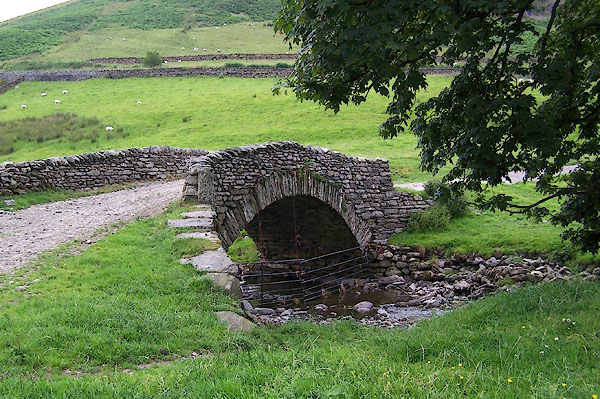
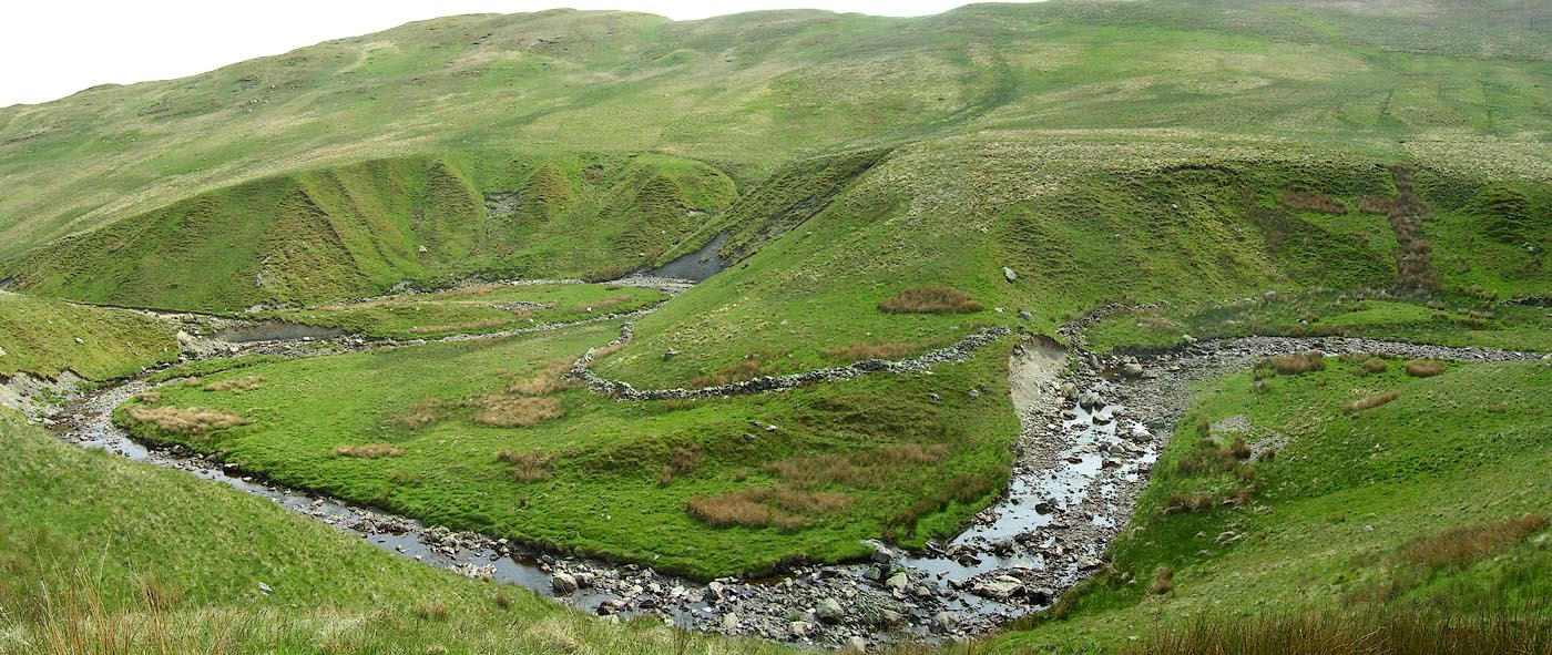
 BPF73.jpg (taken 24.5.2008)  BPF67.jpg (taken 24.5.2008) |
||||
|
|
||||
| evidence:- | old map:- Ogilby 1675 (plate 38) |
|||
| source data:- | Road strip map, hand coloured engraving, continuation of the
Road from London to Carlisle, scale about 1 inch to 1 mile, by
John Ogilby, London, 1675.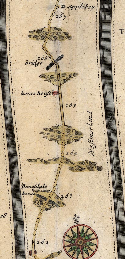 OG38m262.jpg In mile 265, Westmorland. River crossed by the road over a:- "bridge" item:- JandMN : 21 Image © see bottom of page |
|||
|
|
||||
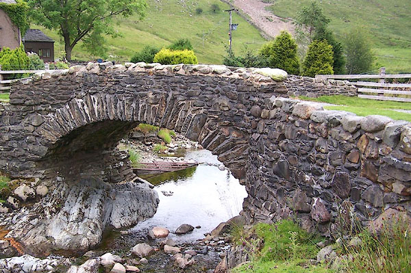
 Click to enlarge BPF68.jpg (taken 24.5.2008) |
||||
|
|
||||
| places:- |
|
|||
|
||||
Lakes Guides menu.